The “Roof of the World,” in eight simple lines

- The “Roof of the World” is a term that has been applied to various parts of High Asia.
- As such, it is an example of our confused understanding of the region’s complex geography.
- This map clarifies by simplifying: seven major chains, centered on the “Pamir Knot.”
For ages, the mountain people of the Pamir had been calling their homeland Bam-i-Dunya. Only by the mid-19th century, after British explorers had reached Asia’s rugged interior, did the translation catch on worldwide: “Roof of the World.”
In its original and narrowest definition, that term applied only to the Pamir Plateau. But “Roof of the World” is a phrase so compact and expressive that it was soon transferred to other parts of High Asia, including to the Himalayas, and specifically to Everest, but also to the Tibetan Plateau.
And so, the phrase only added to the confusion about the complex geography of this part of the world. With eight simple strokes of the pen, this map brings clarity to the matter: not by adding detail, but by removing it. The map is a masterful miniature, reducing the region to eight key mountain regions and ranges, and showing how they relate to each other.
It is fitting that the Pamir Plateau, the original “Roof of the World,” is at the center of this cluster. The area is also known as the “Pamir Knot,” precisely because it ties together so many different mountain chains. If there ever was the perfect cheat sheet for the geography of High Asia, this is it. Here follows, very briefly, “Roof of the World 101”.
Pamir
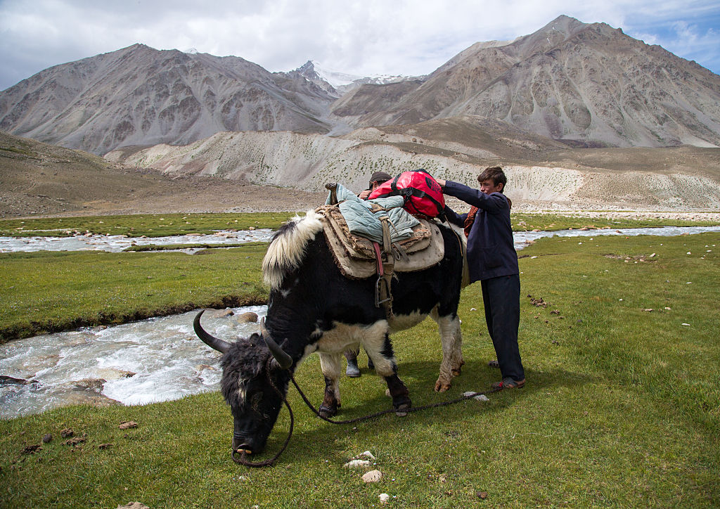
Most of the Pamir highlands and mountains are in Gorno-Badakhshan, an autonomous region in the southeast of Tajikistan. The Pamir spills over into Kyrgyzstan, Afghanistan, Pakistan, and China.
Three of the five so-called Snow Leopard peaks — the highest points of the former Soviet Union, all over 7,000 m (22,966 ft) — are in the Tajik part of the Pamir. Among them is Ismoil Somoni Peak, formerly Communism Peak and before that Stalin Peak (7,495 m or 24,590 ft), the highest summit in the USSR. Around 600 mountaineers have climbed all five and earned the Snow Leopard Award.
Tien Shan
The Tien Shan (“Heavenly Mountains” in Chinese) run from Uzbekistan to Xinjiang in western China. This biodiversity hotspot is where tulips, cherries, apricots, apples, and pears originated, among many other now globalized plants.
Here are the two other Snow Leopard peaks. Jengish Chokusu (7,439 metres or 24,406 ft) is known in Russian as Pik Pobeda. Both names mean “Victory Peak,” a name bestowed in 1946 to celebrate the defeat of Nazi Germany. Some say Jengish Chokusu is the most northerly 7,000-meter mountain in the world. Others claim it is Khan Tengri (“King of Heaven”), 16 km (10 mi) to the northeast. Why the confusion? It’s about how you measure summits. Mountaineers claim Khan Tengri is 7,010 m (22,999 ft) tall, but geologists subtract the 15 m (49 ft) of ice capping its rocky summit.

Altyn Tagh
The Altyn Tagh Range in northwestern China separates the Tibetan Plateau from the eastern Tarim Basin. Its name is Turkic for “Gold Mountain”; the Chinese translation is Jin Shan. (The hybrid form Altun Shan is also used). The main Silk Road ran north of these mountains, which were therefore also called Nan Shan, or “Southern Mountains.”
Altun Shan is also the name of an individual mountain in China’s Gansu province. It is the highest summit (5,798 m) in the eastern part of the range. The highest peak of the entire Altyn Tagh range is Sulamutag Feng (6,245 m or 20,489 ft), which remains unclimbed.
Kunlun
In Chinese mythology, Mount Kunlun is the navel of the earth, the pillar of heaven, and the birthplace of the Chinese nation. This exotic “Western Paradise” is the residence of the gods, most famously the Yellow Emperor, with his four faces, and Xi Wang Mu, the tiger-toothed and leopard-tailed Queen Mother of the West. In James Hilton’s classic 1933 novel Lost Horizon, the Kunlun Mountains are the location of the Shangri-La monastery — another mythical paradise, albeit of more recent coinage.
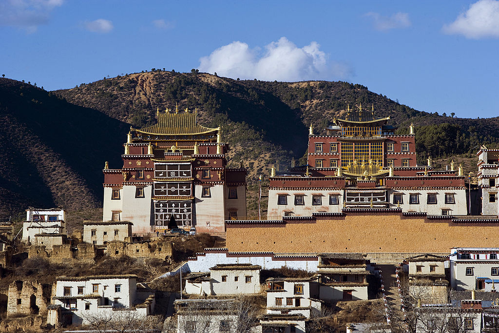
In today’s geography, the Kunlun Mountains, in western China, separate the Tibetan Plateau in the south from the Tarim Basin and the Taklamakan and Gobi deserts in the north. The highest mountain of the range is Liushi Shan, also known as Kunlun Goddess Peak (7,167 m or 23,514 ft), which was first climbed only in 1986.
Karakoram
With 18 summits higher than 7,500 m (24,600 ft) and four above 8,000 m (26,000 ft), the Karakoram — mainly in Pakistan, but dipping across its neighbors’ borders as well — is the world’s second highest mountain range. The range is home to K2 (8,611 m or 28,251 ft), the world’s second highest peak.

It is also the most glaciated place on Earth outside both poles. Glaciers cover up to half the range, an area of more than 15,000 sq km (5,800 sq mi). For comparison: glaciers cover only around 10% of the Himalayas.
Karakoram is Turkic for “black gravel”, a term that originally applied only to the Karakoram Pass. Indian geographers called the mountains Krishnagiri, or “black mountains.”
Himalaya
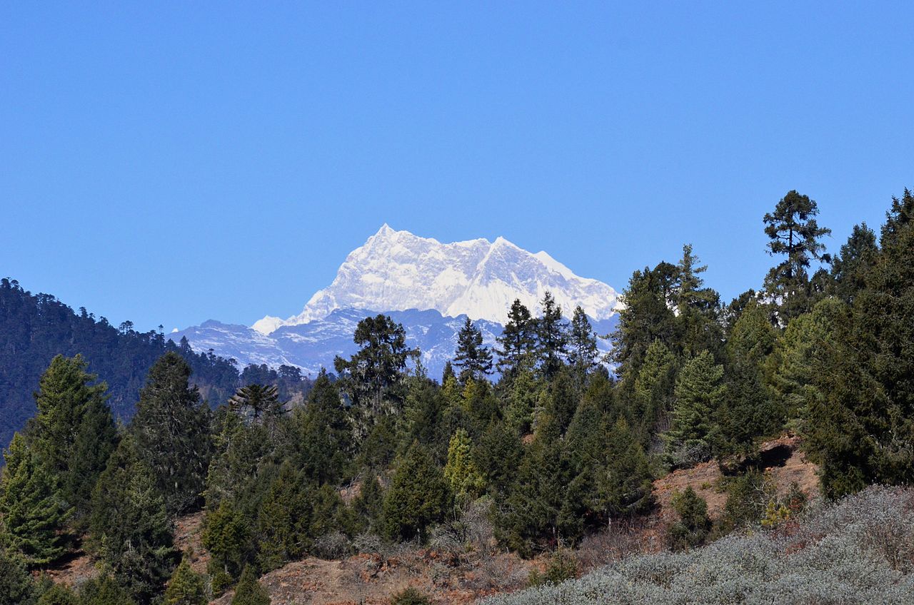
Featuring the world’s highest mountain, Everest at 8,849 m (29,032 ft), and more than 100 others over 7,200 m (23,600 ft), the Himalayas are the highest and most iconic mountain range on the planet. In Sanskrit, its name means “Land of Snow.” Because it contains the world’s third largest deposit of ice and snow, it’s also called the “Third Pole.”
Even at the top of Everest, there is evidence that it was once at the bottom of the sea: The limestone it is made of contains trilobites and other ancient marine creatures. The range is still geologically active, rising about 5 mm (one fifth of an inch) per year.
The Himalayas also extend into Bhutan, Nepal, and Pakistan. Bhutan’s highest peak, Gangkhar Puensum (7,570 m or 24,836 ft) is the world’s highest unclimbed mountain. And it will remain unclimbed for the foreseeable future, as Bhutan completely banned mountaineering in 2003.
Hindu Kush
The Hindu Kush stretches from central Afghanistan into northwestern Pakistan and southeastern Tajikistan, where it merges with the Karakoram Range. Its highest point is Tirich Mir (7,708 m or 25,289 ft) in Pakistan’s Chitral District.
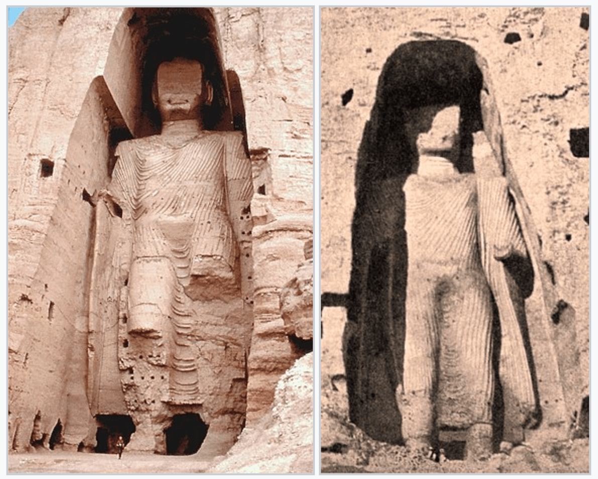
Before the arrival of Islam, this range was a major center for Buddhism: The famous Bamiyan Buddhas, blown up by the Taliban in 2001, were carved out of these mountains. Even after Islam was firmly established elsewhere, the remotest valleys in the Hindu Kush region managed to hold out for centuries. Kafiristan (“land of pagans”) was forcibly converted only in the late 19th century. It is now known as Nuristan (“land of light”).
The range’s name means “Hindu killer,” possibly a reference to the subcontinental slaves who died there en route to the slave markets of Central Asia. The Hindus themselves obviously favored other names. In Sanskrit, the range was known as Uparisyena, alternatively said to mean “beyond the reach of eagles,” or “covered with juniper.”
Alai
The Alai Range, not to be confused with the Altai Mountains much further to the northeast, runs east-west from the Tien Shan and forms the southern border of the fertile Fergana Valley. Its highest summit is Tandy Köl (5,544 metres or 18,189 ft) on the border between Kyrgyzstan and Tajikistan.
Strange Maps #1223
The map is found here on Twitter, from the account of Araib Ali Baig (“Tales from the mountains of Karakoram, Himalayas, Hindukush”).
Got a strange map? Let me know at strangemaps@gmail.com.
Follow Strange Maps on Twitter and Facebook.

_%22Eastern%22_Buddha_of_Bamiyan,_built_between_544_to_595_CE.jpg)