165 – Licking Europe: Asia As A Horse
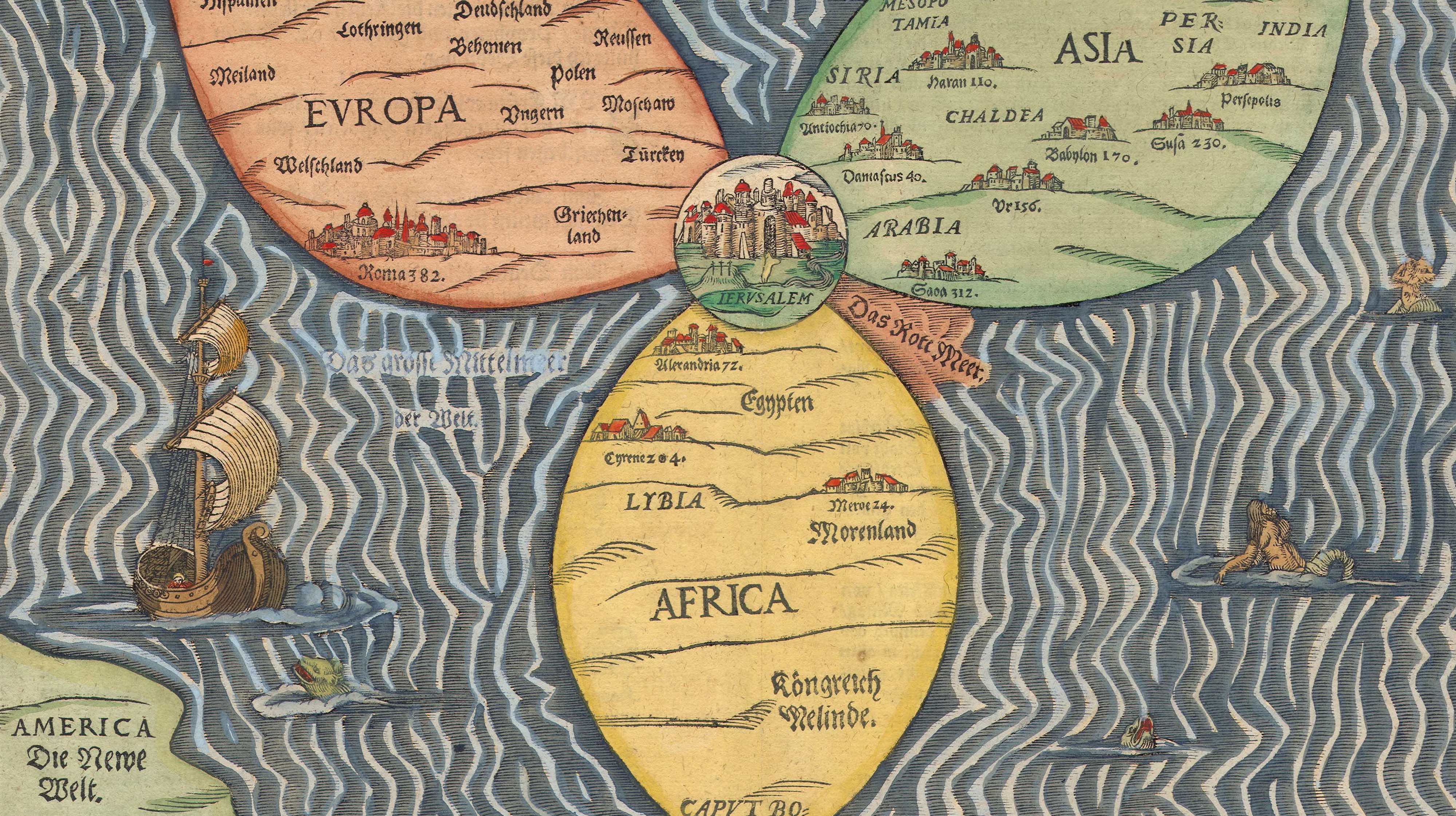
Heinrich Bunting‘s Itinerarium Sacra Scripturae (‘Travels According to the Scriptures’), first published in 1581, contained accurate maps of the Holy Land, but also three maps of pure fantasy. Two of those have already been described on this site: the world in the form of a cloverleaf (entry #87) and Europe as a queen (entry #141). This is the third one.
The title of this map is Asia Secunda Pars Terrae in Forma Pegasir (‘Asia, the Second Part of the Earth, in the Form of Pegasus‘). The winged horse of Greek mythology is the son of Poseidon and Medusa, was tamed by Athena and became the horse of the Muses. This obviously pagan origin of the image makes its appearance in a Holy Land travel book a bit of a mystery.
On this map, Pegasus is drawn realistically – i.e. Asia is adjusted to horse-shape. • Asia’s front legs, touching Africa with the knees, constitute Arabia. • Its head, licking Europe, is Asia Minor (present-day Turkey). • The Tigris and Euphrates rivers run down its neck, on which is marked the area of Mesopotamia. • Another river indicated, at the horse’s thigh, is the Ganges, with India Infra Gangem (‘India before the Ganges’) to the west and India Extra Gangem (‘India across the Ganges’). • The horse’s behind is India Orientalis (‘East India‘, which could be used for parts east of present-day India, e.g. Indonesia, formerly the Dutch East Indies). • Both hind legs are inscribed with India Meridionalis (‘South India’), which doesn’t at all reflect the single-peninsular nature of the Indian subcontinent. • The wings are labelled Scythia and Tartaria, names often used to describe the vast unknown areas of Siberia. • The body of water in between the wings and the horse’s body is the Caspian Sea.
This map found at the Cartographical Curiosities section of the Yale University Library Map Collection.

