Merapi Update for 11/8/2010: Death toll climbs as activity calms

A quick update on the ongoing eruption at Merapi in Indonesia – the death toll has now reached at least 141 since the eruption started on October 26th. This number is likely a low estimate as officials in Indonesia think that people are buried in the thick ash and mud deposits from pyroclastic flows and lahars that have come from the volcano. The bodies found so far have been buried in mass graves to help prevent the spread of disease. All in all, it is very grim news from the area around Merapi. Multiple relief organization have now set up camps/stations near Merapi, including the Red Crescent from the UAE, medical students from Malaysia and the Indonesian Red Crescent/Cross (incidently, their uniforms are marked “PMI”, not to be confused with Phillip Morris Inc. – and concerning the “controversy” about Phillip Morris helping with the relief effort, well, I am not wading into that nonsense.) Eruptions reader Diane also pointed out the two pamphlets for the public (on ‘Preparedness, before, during and after ashfall’ and on ‘The health hazards of volcanic ash’) that have been translated into Bahasa Indonesia by the International Volcanic Health Hazard Network (who is also looking for ash samples from Merapi). Over 270,000 people have evacuated due to the activity at Merapi.
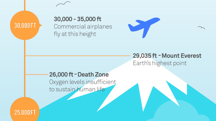
The ash from the eruption is still causing problems at Yogjakarta, where flights have been intermittently cancelled. However, flights in and out of Jakarta have resumed after some cancellations over the weekend – and US President Barack Obama will continue with his visit to Indonesia this week. The eruptive plume reported today seems to be smaller than late last week, topping at 1 km / 3,000 feet and much of the recent ash is below 25,000 feet. However, a significant amount of Merapi ash has drifted over the Indian Ocean to over 40,000 feet. Officials from the Volcanology Center in Indonesia are still concerned (Indonesian) with pyroclastic flows and lahars being generated and funneled towards populated areas.

Trees flattened by pyroclastic flows generated during the 2010 eruption of Merapi.
If you want to see the results of this new eruptive period at Merapi, you should check out the collection of images from Boston.com – however, many images are graphic, so be forewarned. However, some are remarkable, showing the strombolian eruptions within the crater (see top left) that are generating the lava domes that have periodically collapsed to generate pyroclastic flows and (when mixing with river water in the drainages) lahars. A few of the images are very similar to images of Mt. Saint Helens in 1980, show the power of the pyroclastic flows to flatten entire forests (see above).
Top left: The crater area of Merapi, taken on November 3, 2010. See the original image here.
