Sable Island, the Graveyard of the Atlantic

I had never heard of Fagunda. A 17th-century map places it in the North Atlantic, not far from Estotiland, Bus and Frislant. These and other so-called phantom islands were a by-product of the Age of Discovery. They started out as errors of nautical observation, and lived on as cartographic misconceptions – sometimes for centuries (see also #62, #64, #295).
A comprehensive list of phantom islands is quite long, but Fagunda is not on it. That’s because Fagunda is real. Even if its history is equally obscure and hardly less fantastic than that of actual phantom islands. Even if that name is as absent from today’s maps as those of its fictional companions.
The island, basically a single, giant dune marooned off Nova Scotia, nowadays is known as Sable Island. And yet even under that name it’s an obscure piece of North Atlantic real estate. Contributing to its obscurity are its isolated, eccentric location (160 km out to sea), tiny surface (34 km2) and economic irrelevance.
Like the island itself, its history is frequently shrouded in mist. The first European visitor may have been the Portuguese discoverer João Álvares Fagundes, in the 1520s (hence its early name). At the end of the 16th century, a French attempt to establish a convict colony succeeded only in endowing the island with its subsequent name: île de Sable, literally Sand Island.

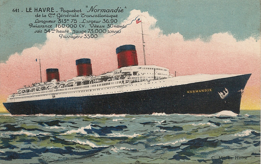
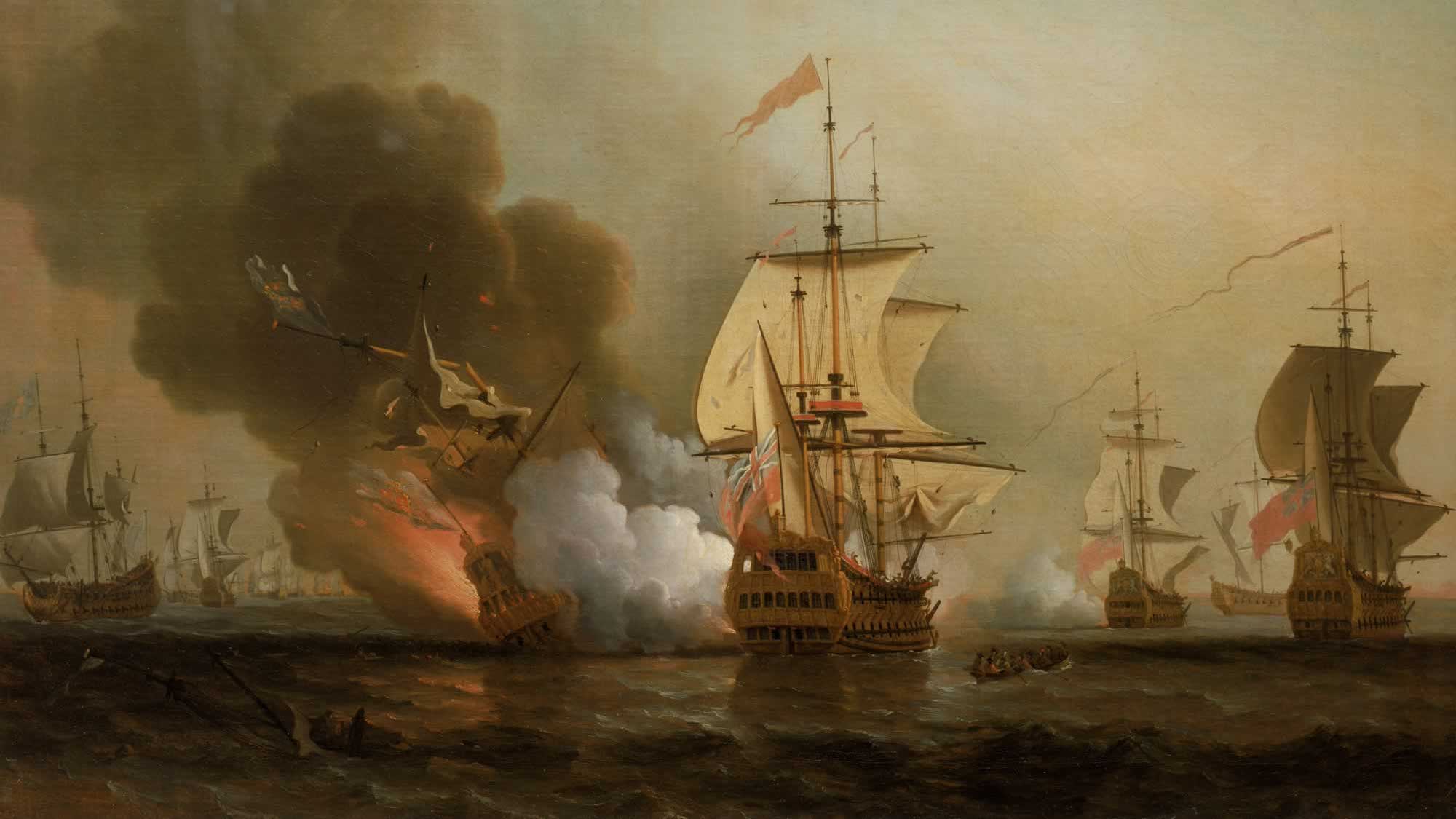
Only sealers, shipwrecked sailors and salvagers made their homes on Sable Island, impermanent ones at best. The salvagers must have had some pretty good times – over the last few centuries, more than 350 vessels were shipwrecked on what became known as the “Graveyard of the Atlantic”.
Located in shallow, often stormy and foggy waters, the elongated Sable Island (44 km long but never more than 2 km wide) might have been predestined as a catchment area for ships treading these Atlantic latitudes – a self-fulfilling curse for captains ignorant or oblivious of this huge, constantly shifting sandbar.
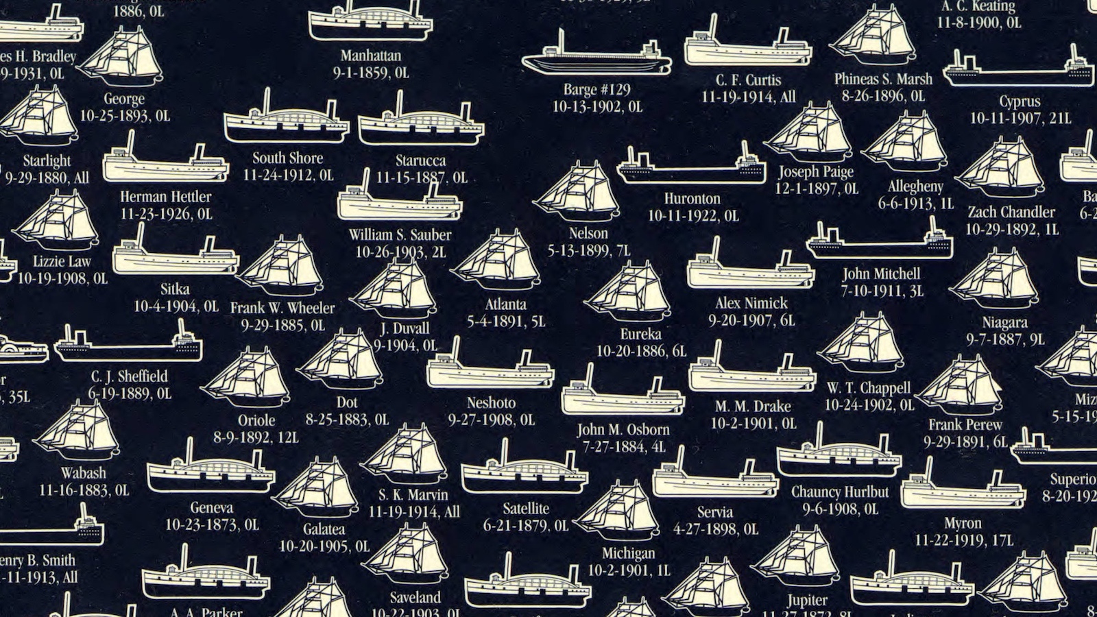
This map shows many of the ships wrecked on the shores of Sable Island, detailing the type of vessel (ship, bark, schooner, brig, brigantine, steamer), the year of the wrecking (1802 to 1946, even though the earliest wreck is attested as dating from 1583) and the ships’ names. These include many that are just too fantastic not to repeat here: the Black Duck, the Margarita, the Farto, the Vampire, the Esperanto, the Stranger, the Sadie Knickle (sounds like a lost Beatles track, that one) and (my favourite) the Bob Logic.
Safety was greatly improved in 1872, when the Canadian government installed two lighthouses, one on each side of the crescent-shaped island (the last recorded shipwreck occurred in 1999.) The lighthouses have been automated, but Sable island is still home to a year-round crew, of five meteorologists.
The only really permanent island-dwellers are over 300 feral horses (possibly left there by Thomas Hancock, uncle of John Hancock, the proverbial signatory). They roam the grasslands and drink at Lake Wallace and other freshwater ponds, undisturbed by man. For the whole island is a nature reserve. No one can get on it without permission of the Canadian Coast Guard. Other wildlife includes several thousand seals, arctic birds (of which the Ipswich sparrow breeds only on Sable Island).
Resulting from its uniquely extremitous position in the Atlantic, Sable Island was chosen in 1901 by Guglielmo Marconi as the location of a wireless station for transatlantic communication. Talking about communication – the island is a bit of a holy grail for radio amateurs, what with its inaccessibility and the fact that it has its own callsign (CYO; reminiscent of another special island described here some time ago — Market, #6).
This map taken here from the Sable Island section of the Museum of National History site, which is part of the Nova Scotia Museum.
Strange Maps #387
Got a strange map? Let me know at strangemaps@gmail.com.