Strange Maps
A special series by Frank Jacobs.
Frank has been writing about strange maps since 2006, published a book on the subject in 2009 and joined Big Think in 2010. Readers send in new material daily, and he keeps bumping in to cartography that is delightfully obscure, amazingly beautiful, shockingly partisan, and more. "Each map tells a story, but the stories told by your standard atlas for school or reference are limited and literal: they show only the most practical side of the world, its geography and its political divisions. Strange Maps aims to collect and comment on maps that do everything but that - maps that show the world from a different angle."
featured
All Stories
Fast food chains generally don’t have a good rep when it comes to healthy, eco-conscious dining. There is some re-branding going on, though, like at McDonald’s, which is moving heaven […]
“A popular game show in which contestants need to answer trivia questions on a variety of topics that has been running on US tv for nearly 45 years, and has […]
Here’s a treat for all you cruciverbally obsessed Hungarian cartophiles out there: a Magyarophone crossword in the shape of Old Hungary, i.e. the other half of the Austrian-led Double Monarchy […]
Russia is no longer the hub of a worldwide Communist empire, nor the main ingredient of the Soviet Union; but the Kremlin still insists on wielding power in its old […]
I learned a new word today, but the condition it describes has been with me for quite some time: cartocacoethes – the compulsion to see maps everywhere. More on that […]
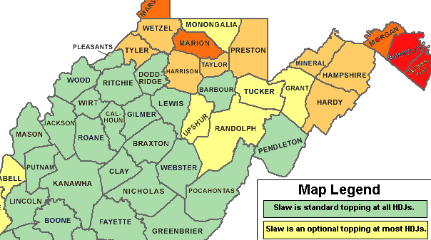
“If you have to ask for slaw on a hot dog, it’s not a true West Virginia hot dog”
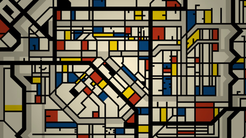
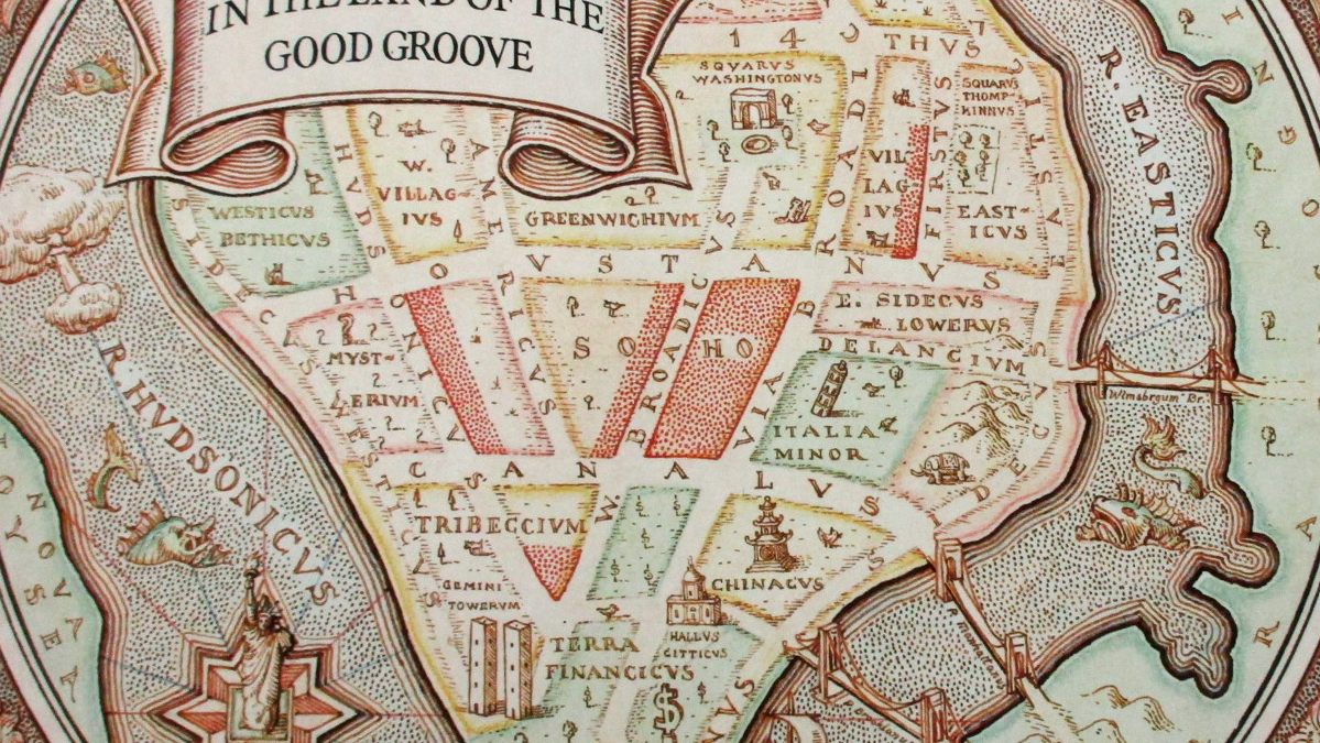
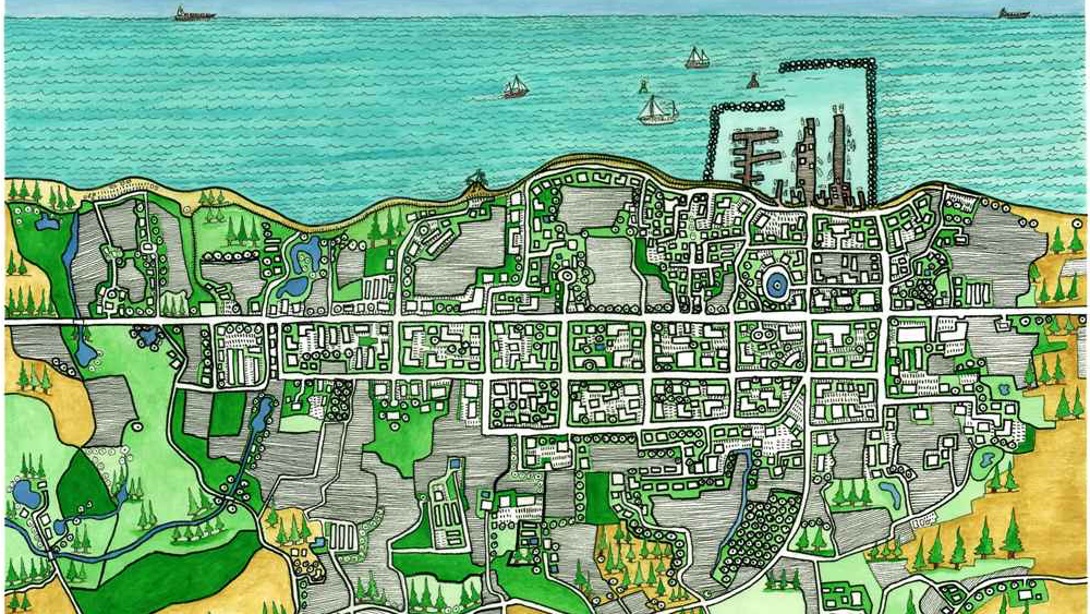
A weird marriage of urban planning and personality cult
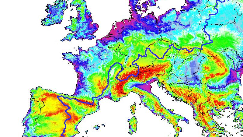
A less well-known boundary than America’s Continental Divide
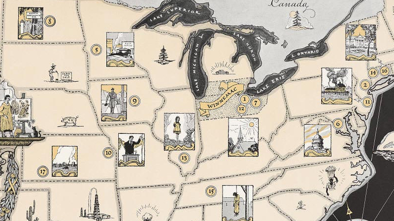
To spare the feelings of the good people of his hometown, Sinclair Lewis invented a fictional state as the setting for his novels
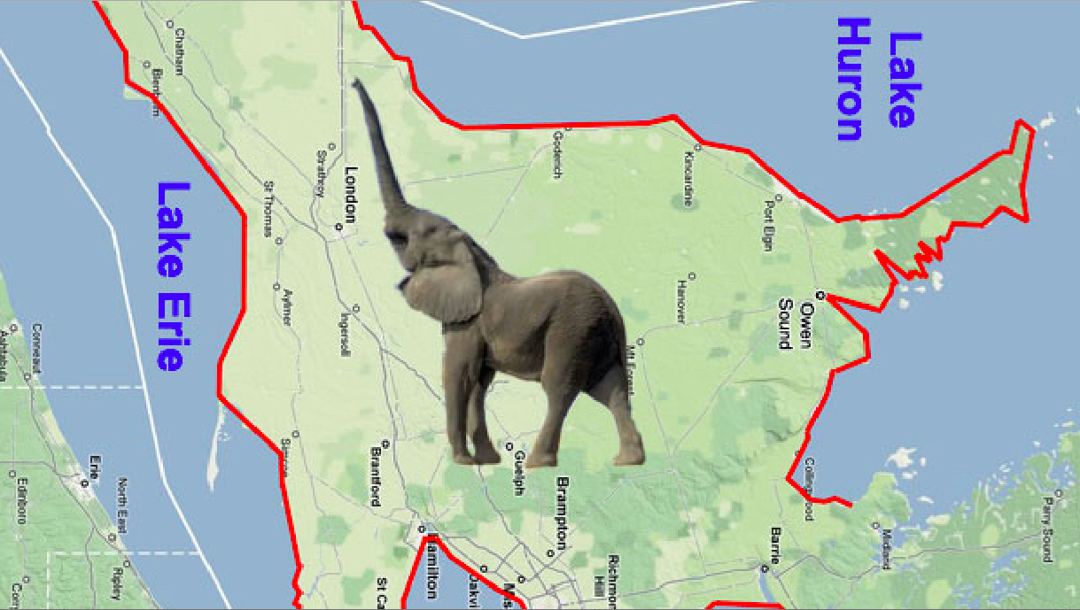
Tilt your map 90 degrees to the right, and the elephant reveals itself
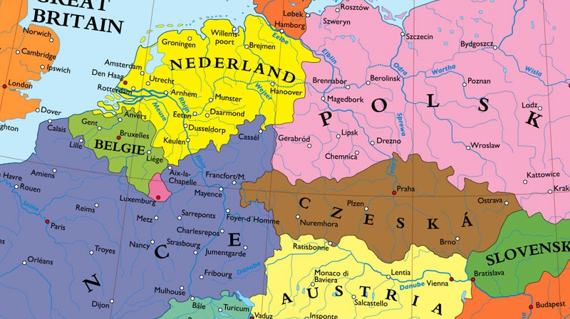
Europe’s most powerful country is annexed out of existence by its neighbours
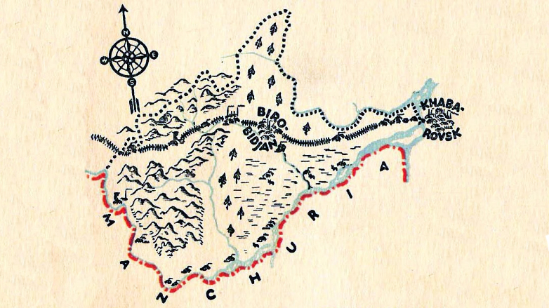
The Jews have another Israel. It’s in Siberia – and it was their first official home.
The map was made by James Mazzeo, a long-time associate of Neil Young
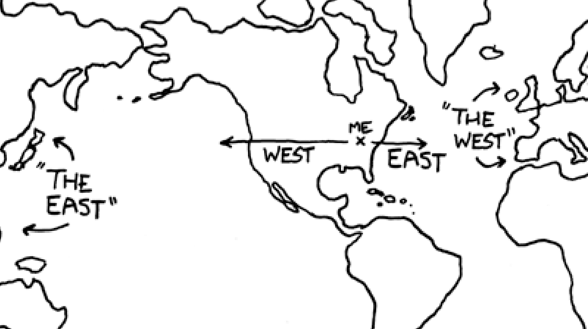
Because of eurocentrism. But probably not for much longer.
In its most recent issue, The New Yorker magazine revisits one of its most famous covers ever. Saul Steinberg’s cartoon on the front page of the 29 March 1976 issue […]
nn “I was contemplating the logo and slogan of `The Hospitality Industry`, the vaguely named corporation that apparently makes foil/paper wrappers for hamburgers, wondering just what `Special World` they were […]
nn PERTINI DANCE (by S.C.O.R.T.A., 1984) n “What a superstar to be, is the best you can see. n Yes this is a brave man, oh. The first Italian man, […]
For such a small country, Liechtenstein sure has a lot of exclaves (or was that enclaves?)
n A – “Now you’re thinking of Europe as Germany and France. I don’t. I think that’s Old Europe. If you look at the entire NATO Europe today, the center […]
n The constellations visible in the northern hemisphere, including the twelve signs of the Zodiac, owe their names to the Babylonians and the Greeks. Only during the last few hundred […]
nn nn Rarely is the question asked: What if Italy had won the Second World War? The more frequently asked question is: What if Germany had won the war? Italy […]
n nn According to Barack Obama, “there are no blue states, no red states, only the United States of America”. That is the rhetoric one should expect from a president-elect, […]
This map, showing the surface and population of selected world cities, is outdated by over two decades. It was published in the Dallas Morning News on 9 June 1983, since […]
n “(…) for the last two years, I’ve been taking pictures of Britain on world maps,” writes Ben Terrett, graphic designer and blogger at Noisy Decent Graphics. Well, not too bad, if that’s […]
The calls of this bird vary regionally, as do the names people give them
The short-lived state “belongs more to the obsessions of bourgeois France than to the politics of South America”
