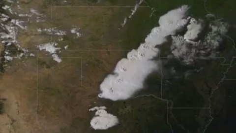
The Oklahoma Tornado Seen From Space (Video)
This animation shows the GOES-13 visible imagery during the daylight hours of the 20th.

Sign up for Big Think on Substack
The most surprising and impactful new stories delivered to your inbox every week, for free.
When severe weather conditions developed over Oklahoma on May 20, NOAA’s GOES-13 satellite was switched to capture an image every 5 minutes as opposed to the normal interval of 30 minutes.
The result is this amazing NOAAVisualizations high speed animation. “The added frequency greatly assists meteorologists in understanding rapidly evolving weather events,” NOAA said in a statement.
Watch here:
Sign up for Big Think on Substack
The most surprising and impactful new stories delivered to your inbox every week, for free.


