Strange Maps
A special series by Frank Jacobs.
Frank has been writing about strange maps since 2006, published a book on the subject in 2009 and joined Big Think in 2010. Readers send in new material daily, and he keeps bumping in to cartography that is delightfully obscure, amazingly beautiful, shockingly partisan, and more. "Each map tells a story, but the stories told by your standard atlas for school or reference are limited and literal: they show only the most practical side of the world, its geography and its political divisions. Strange Maps aims to collect and comment on maps that do everything but that - maps that show the world from a different angle."
featured
All Stories
“[This is] really a most imaginative way not just to map, but also to empower,” writes Thomas Theis Nielsen of the HarassMap, which plots the incidence of various types of […]
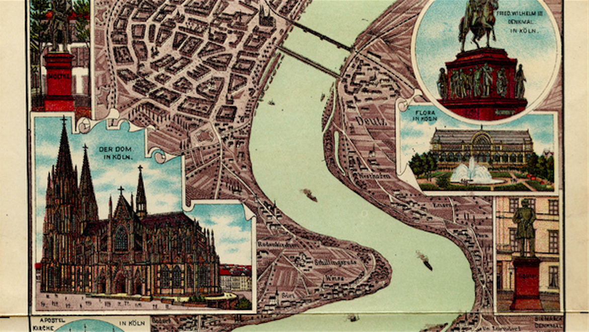
A fabulous Rheinpanorama from the early days of leisure travel
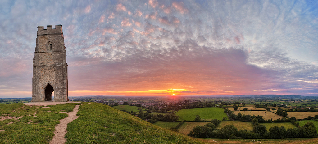
Two straight lines connect Glastonbury to Armageddon
What if colonisers and colonised swapped places (and climates)?
No matter how detailed the map, for some it will always be large enough to separate Us from Them
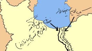
This rudimentary map, showing an Iran crudely cut in two, is currently making the rounds of social media in that country. Its message, as clear as it is simple, is […]
Who you gonna call? Somebody inside your data community, that’s who.
It only has one job: instil map readers with fear and revulsion.
“We are the mediocre presidents. You won’t find our faces on dollars or on cents! There’s Taylor, there’s Tyler, There’s Fillmore and there’s Hayes. There’s William Henry Harrison,” (Harrison:) “I […]
Everybody, meet Kergolus. This little furry thing is a geo-mascot, shaped like the territory it symbolises. Top marks if you’re able to guess which territory that is, either by the […]
With typically Hibernian hyperbole, James Joyce once claimed that “if [Dublin] suddenly disappeared from the earth, it could be reconstructed from my book.” That book would of course be Ulysses […]
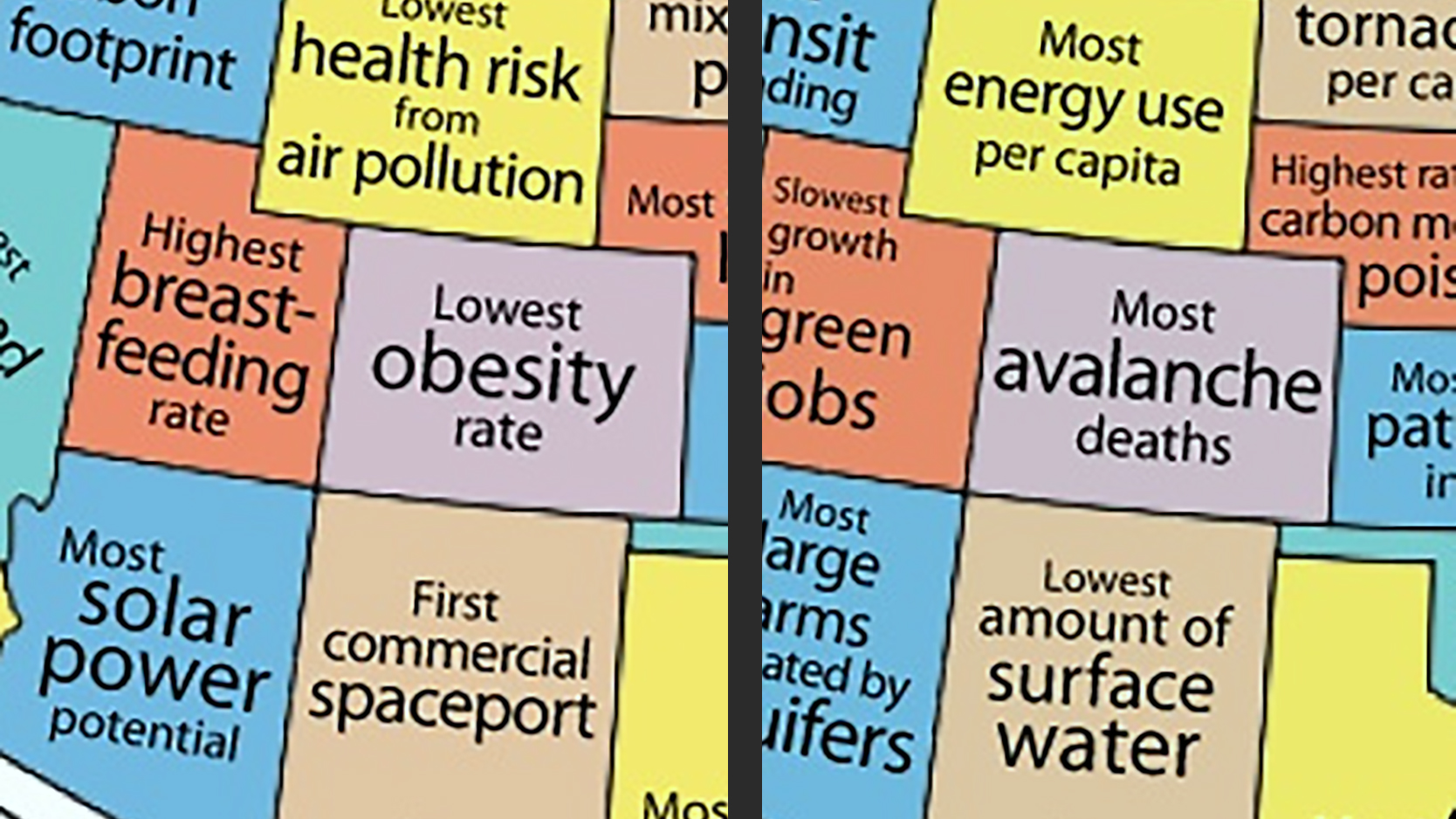
The first set of maps labels each and every one of the states as best and worst at something. All of those distinctions, both the favourable and the unfavourable kind, are backed up by some sort of evidence.
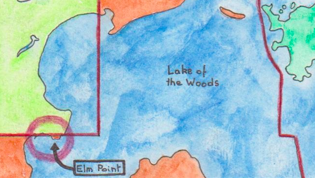
Elm Point and Buffalo Bay Point are quite possibly America’s most obscure exclaves in Canada.
The ship has been a popular metaphor for statecraft since at least the Ancient Greeks. The ‘ship of state’ was mentioned by Aeschylus in Seven Against Thebes (467 BC), and […]
It had been ages since I’d been in Shoreditch – West Londoners generally never stray east of Tower Bridge – but visiting relatives were determined to inspect the cool clubs […]
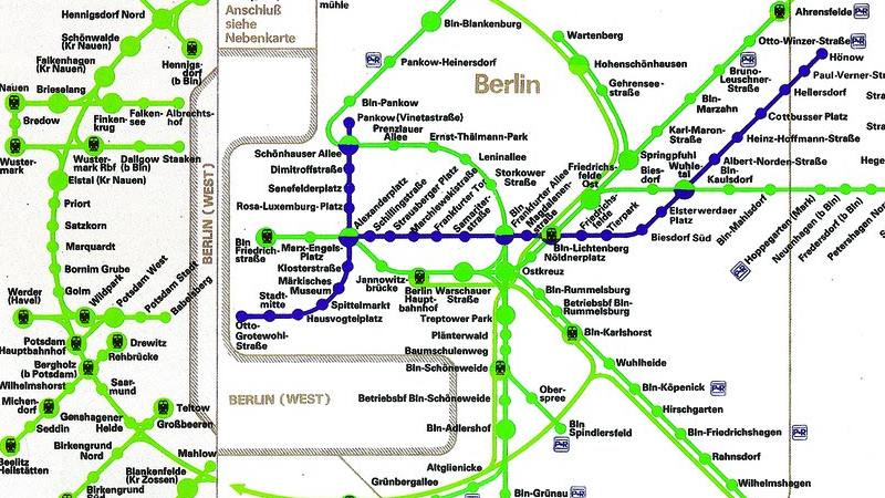
On East German transit maps of Berlin, the city’s western enclave was an unmentionable obstacle
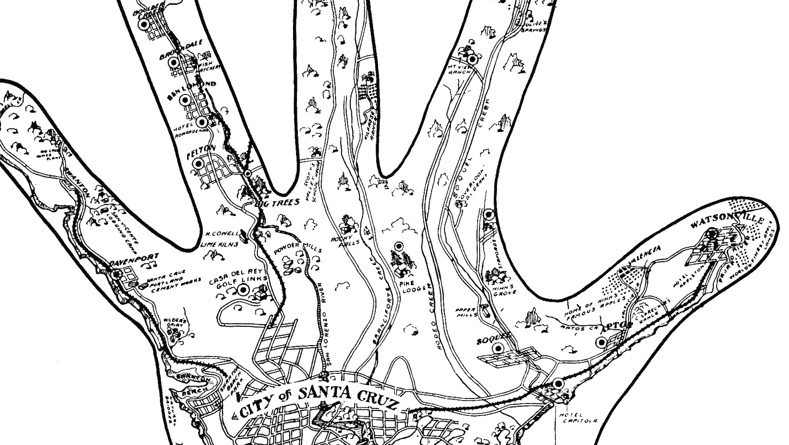
Michigan does not have a monopoly on hand-based cartography.
A limited-edition map celebrated the coincidence of a patriotic occation with a pig-centric one.
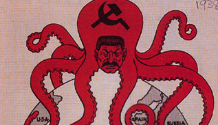
This map, distributed in France in the last year of the First World War, uses a trope common to a lot of cartographic propaganda: the enemy as an octopus, a […]
But did the map make the Soviet Hobbits more communist than their western counterparts?
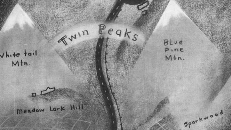
Where is Twin Peaks? The fictional town at the centre of the eponymous TV series isn’t too hard to pinpoint. But things aren’t so clear cut as they seem.
And not just a map: also a timeline, a literary checklist and a historiography
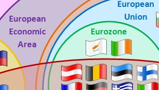
This diagram—not technically a map, but strange all the same—shows the relationship between European countries and the supranational institutions like the EU that govern their interactions.
In a mere decade and a half, Google has gone from cuddly online startup to scary virtual colossus. The internet search engine offers a range of services that now also […]
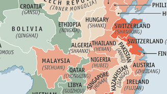
An excellent way to visualise China’s place as the second largest economy is to match its individual provinces with entire nations that have a comparable Gross Domestic Product (GDP).
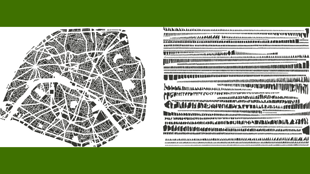
Rank the blocks of some of the world’s most famous cities by size instead of location, and this is what they look like.
Germans have a reputation for punctuality. Is that why they have so many ways of telling the same time? If it’s 10:15 in the germanosphere (1), you’ll have at least […]
