Strange Maps
A special series by Frank Jacobs.
Frank has been writing about strange maps since 2006, published a book on the subject in 2009 and joined Big Think in 2010. Readers send in new material daily, and he keeps bumping in to cartography that is delightfully obscure, amazingly beautiful, shockingly partisan, and more. "Each map tells a story, but the stories told by your standard atlas for school or reference are limited and literal: they show only the most practical side of the world, its geography and its political divisions. Strange Maps aims to collect and comment on maps that do everything but that - maps that show the world from a different angle."
featured
All Stories
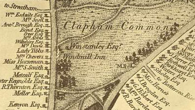
Long gone are the days when Clapham was a small, rustic village well beyond the gates of medieval London. Also gone, but less long, is the era of Clapham as […]
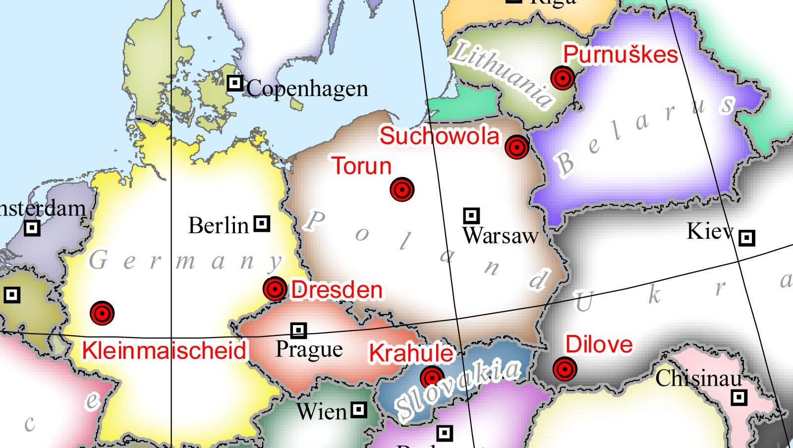
Where is the geographical midpoint of Europe? The question is straightforward enough, but the answer isn’t.
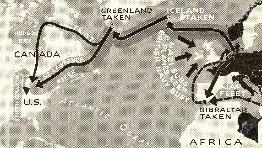
As presented by Life Magazine to its anxious readership in 1942.
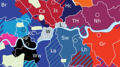
Football – yes, we mean soccer – divides the British capital into a medieval-looking map of invisible territories, frontlines and enclaves.
Did a cheeky Ozzy intern change this map as a nod to his separatist mates back home?
Do you have to be religious to see a face in burnt toast? Probably not, but believers are more likely to attribute such a face to Jesus (1). Believer in […]
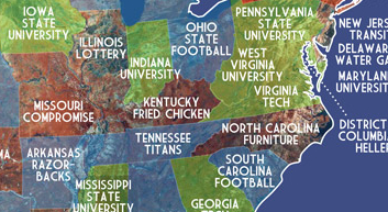
Google any word, and the search engine will suggest a longer phrase, based on the popularity of current searches starting with the same word. This so-called autocomplete function (1) is, […]
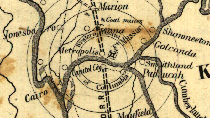
Metropolis, Illinois, a tiny town with a grand name, is a distant echo of this area’s planned greatness
The continent would be ruled by ten neat little empires.
China moves to Russia and India takes over Canada. The Swiss get Bangladesh, the Bangladeshi India. And the U.S.? It stays where it is.
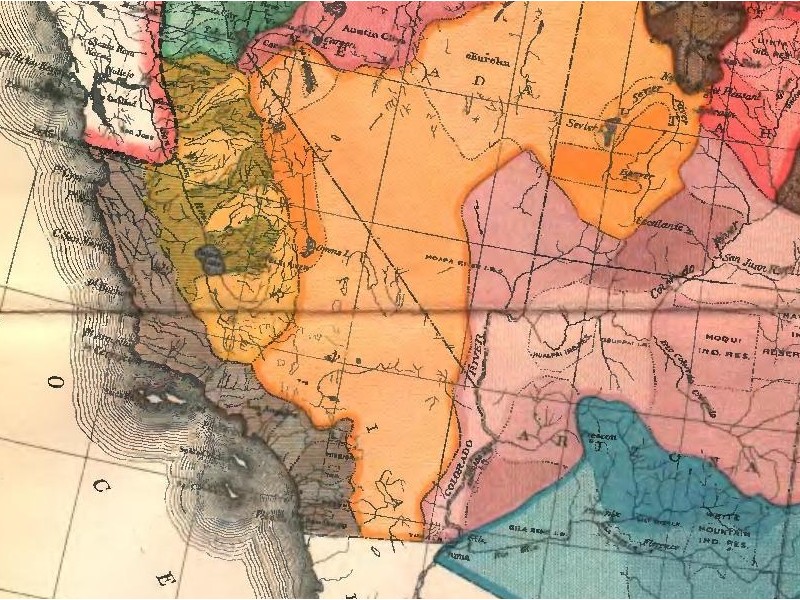
Powell’s water-based states, or How the West wasn’t won
Large-scale drainage projects were popular in the early 20th century – but most came to nothing.
A peculiar reversal of cartography’s ‘original sin’
“Aboriginal Creation myths tell of the legendary totemic beings who had wandered over [Australia] in the Dreamtime, singing out the name of everything that crossed their path — birds, animals, […]
If Europe has one defining cultural characteristic, it is that it has none. This may sound like too neat a paradox, but it’s not that far from the truth. There […]
Borders are to maps what icing is to cakes. Tracing their course between countries and across continents is a source of great enjoyment for the cartophile, as is contemplating their […]
These maps can open the doors to some very dark powers
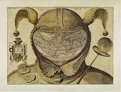
This rather sinister image is one of the biggest mysteries in the history of western cartography. Most often referred to simply as the Fool’s Cap Map of the World, it […]
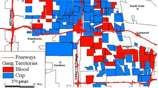
All conflict tends towards binarity, be it on the chess board, in the political arena or on the mean streets of Los Angeles. This map shows parts of south LA, […]
Mysterious in origin, but at least they look pretty on a map
Eilert Sundt must have had a busy, happy week. As the president of the Norwegian Cartozoological Society, Mr Sundt probably is the world’s most prominent ambassador of the obscure discipline […]
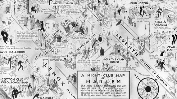
“The only important omission is the location of the various speakeasies, but since there are 500 of them, you won’t have much trouble”
One supercontinent, ringing the equator
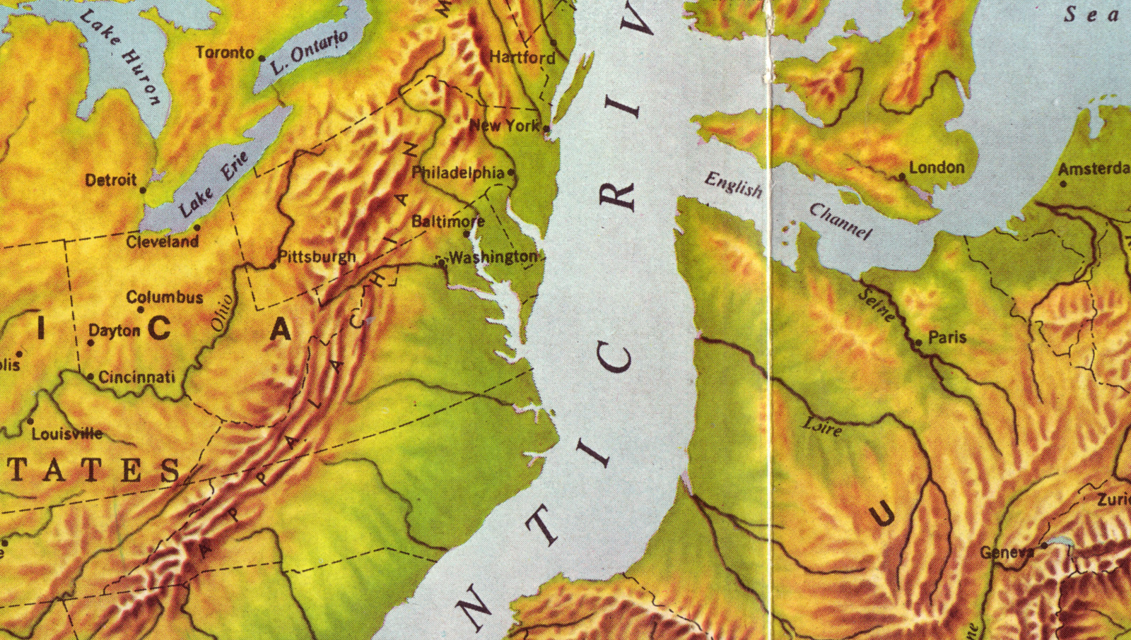
This poster cleverly plays on the half-remembered geological truth that the Atlantic Ocean, at some distant point in the past, really was a very narrow body of water.
Suomi-Neito is a distant, but weirdly parallel echo of ‘Paula’, the personification of Brazil’s Sao Paulo state (discussed in #471). Female like most other anthropomorphic representations of geographic entities (1), […]
n n If you want reliable, world-class journalism, you could do worse than The Economist. This London-based weekly magazine excels in reporting of the respectably serious kind. Serious, as in […]
. n . n American cities are gridded, and thus easily readable and navigable. Their Old World counterparts are older, messier and much more disorienting. That is the conventional wisdom. […]
n . n “No, I already understand how to copy and paste,” says the bearded man on his mobile to some kind of computer helpline. “What I want to do […]
