Strange Maps
A special series by Frank Jacobs.
Frank has been writing about strange maps since 2006, published a book on the subject in 2009 and joined Big Think in 2010. Readers send in new material daily, and he keeps bumping in to cartography that is delightfully obscure, amazingly beautiful, shockingly partisan, and more. "Each map tells a story, but the stories told by your standard atlas for school or reference are limited and literal: they show only the most practical side of the world, its geography and its political divisions. Strange Maps aims to collect and comment on maps that do everything but that - maps that show the world from a different angle."
featured
All Stories
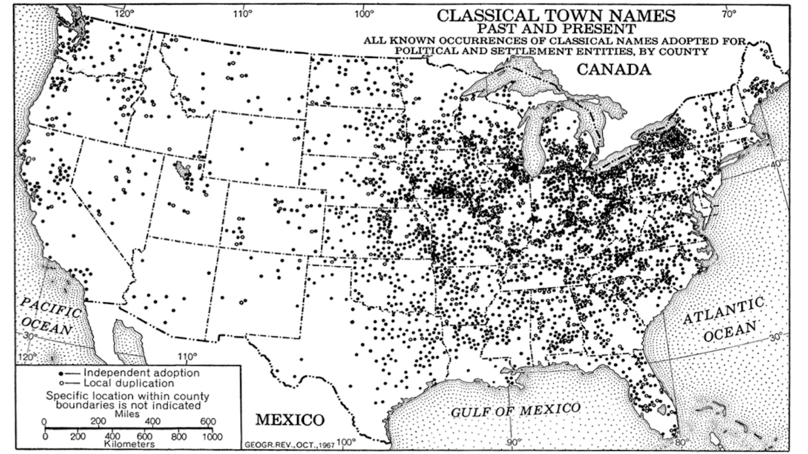
There are nearly 100 towns named “Troy.”
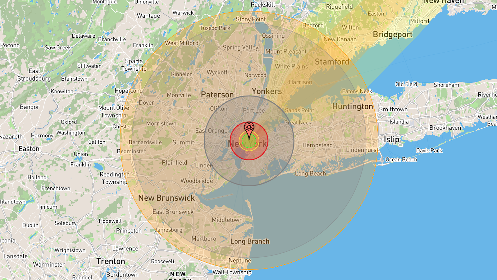
Total annihilation is a permanent threat.
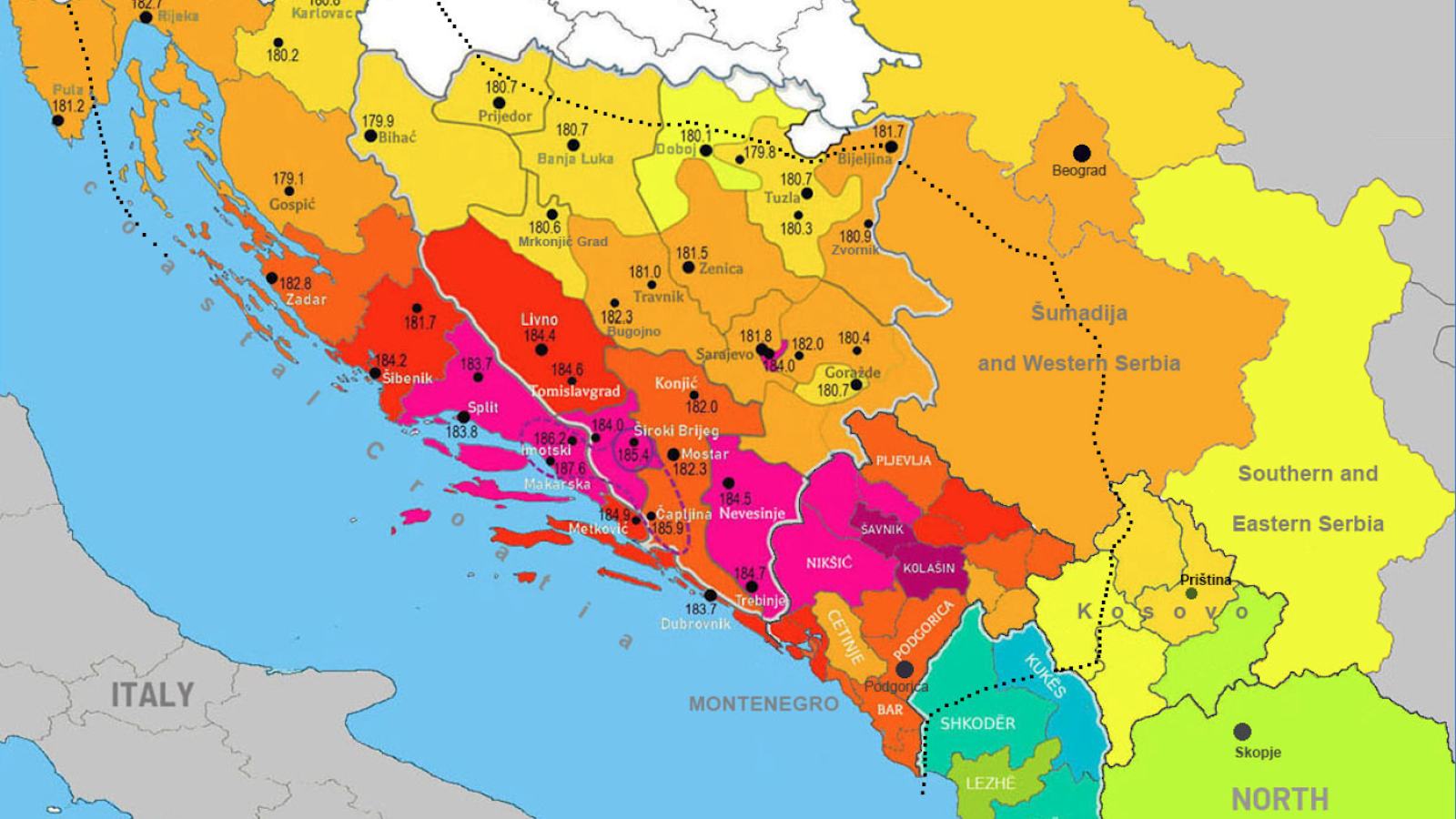
Thanks to genetics and improving nutrition, denizens of the Western Balkans have surpassed the Dutch in height.
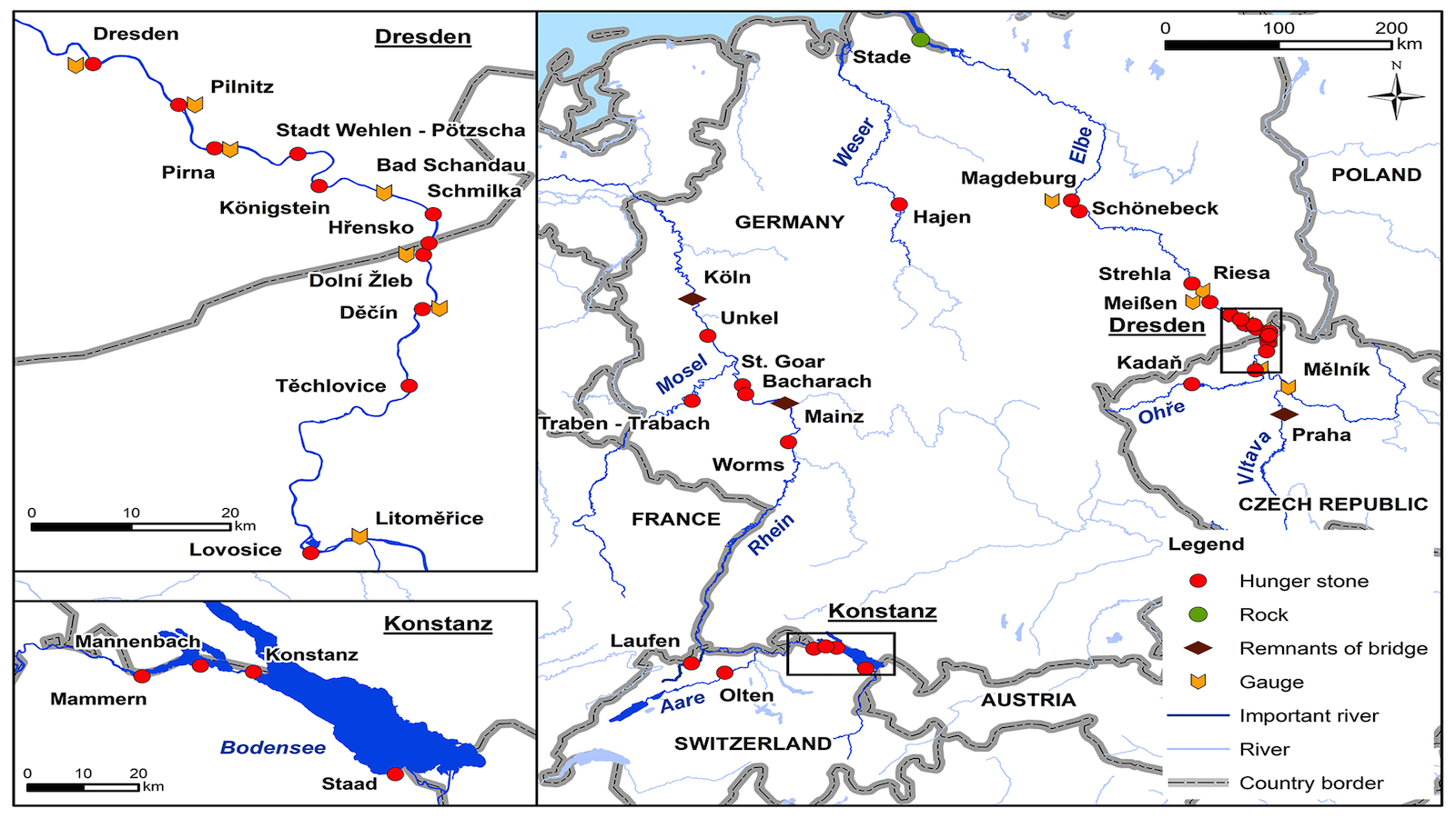
“When you see me, weep.” When rivers dry up in Central Europe, “hunger stones” with ominous inscribed warnings from centuries past reappear.
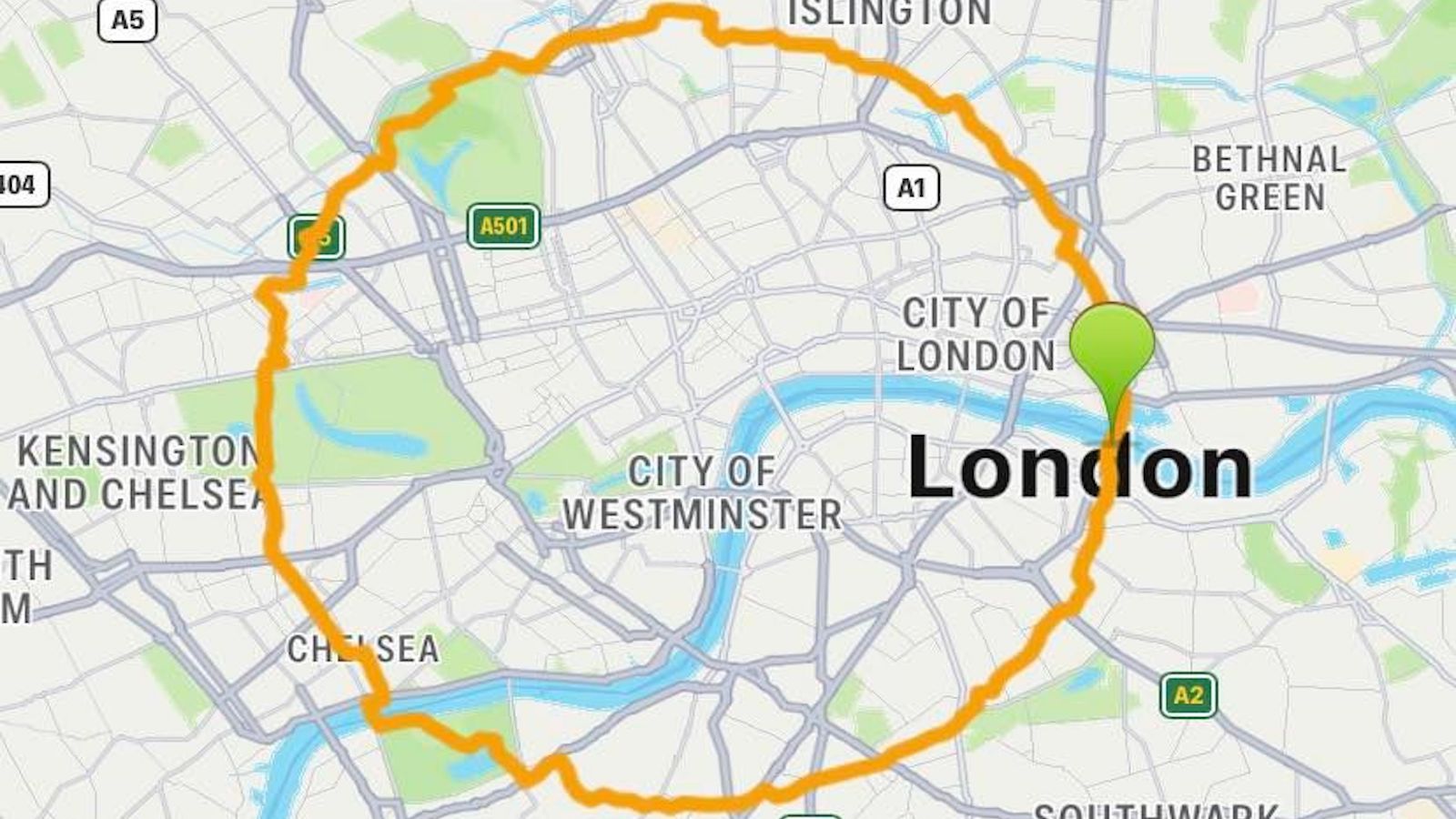
Break into London Zoo? Illegal, but it would improve the London Circle Walk
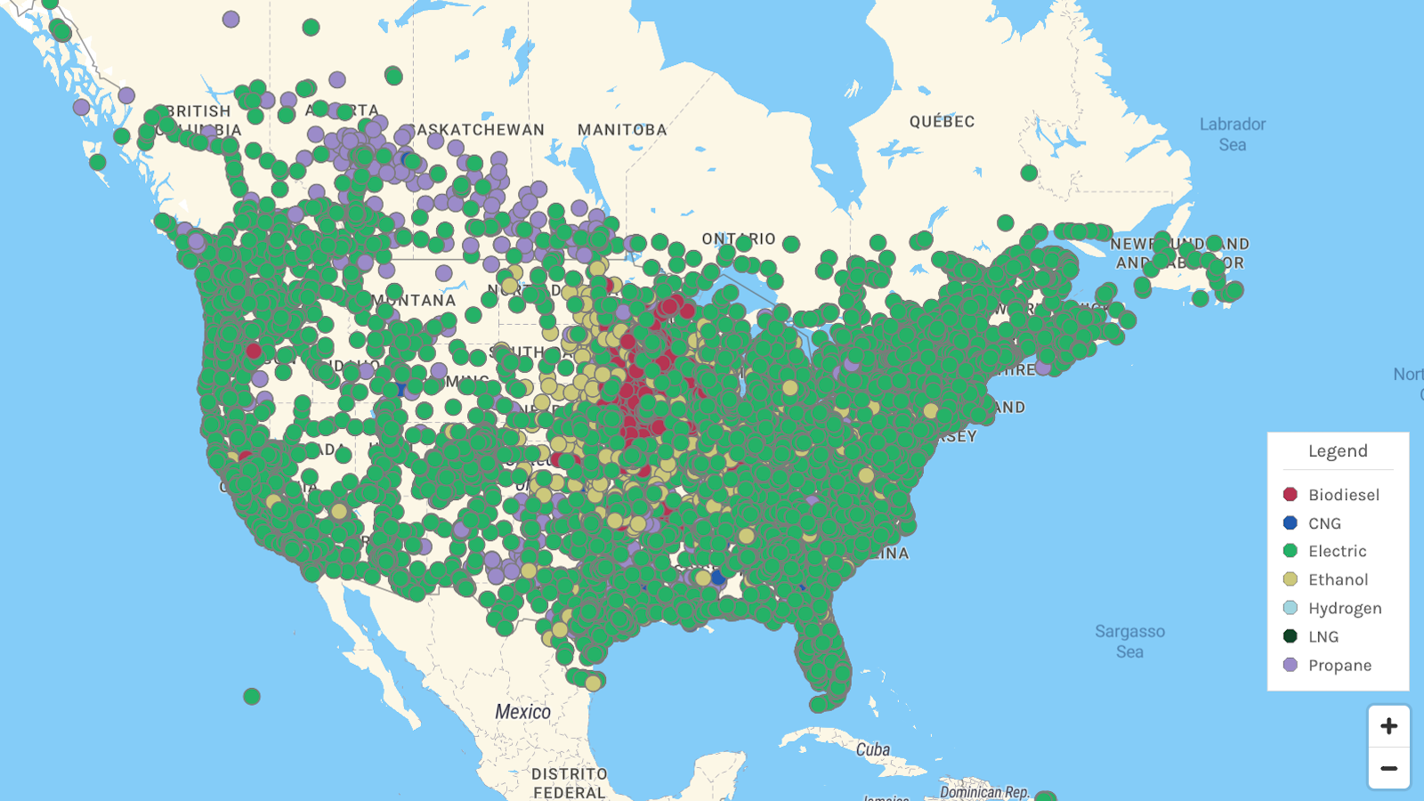
EV charging stations are the most widespread alternative to gas and diesel pumps. Each alternative has its own hotspots and “deserts.”
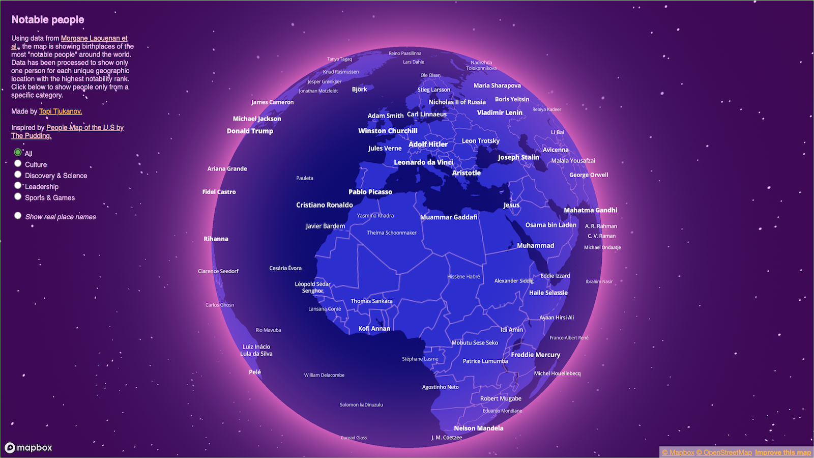
An interactive “globe of notability” shows the curious correspondences and the strange landscape of global fame.
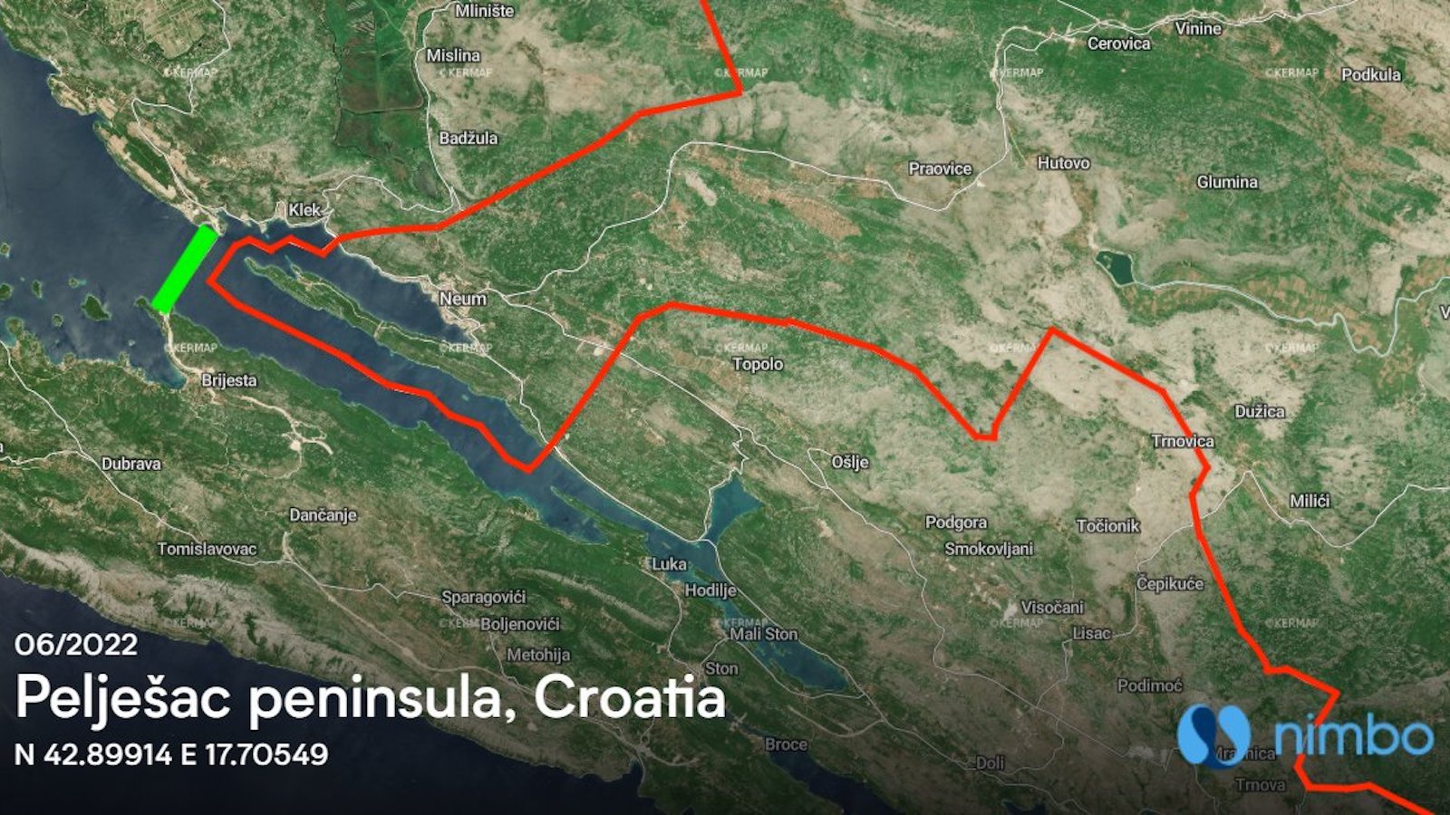
A new bridge joins a divided Croatia, but it cuts Bosnia out of Europe — literally and figuratively. A bridge meant to unite also divides.
“Politics is weird. It’s the only business in the world in which you take a really, really important position, and you give it to someone with no qualifications.” —Tony Blair
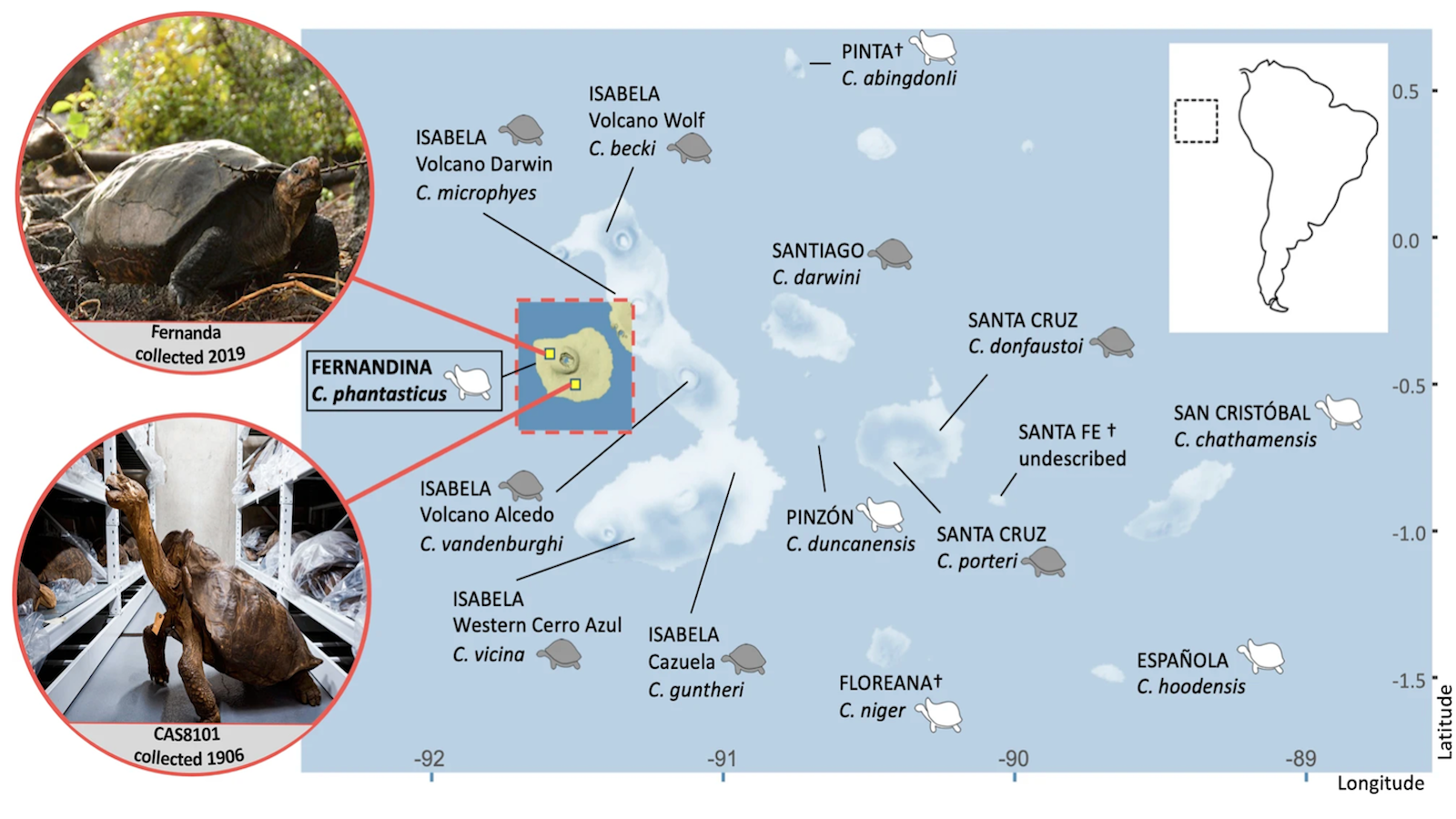
Genetic analysis reveals that a specimen collected in 2019 is the same subspecies as one caught more than a century earlier.
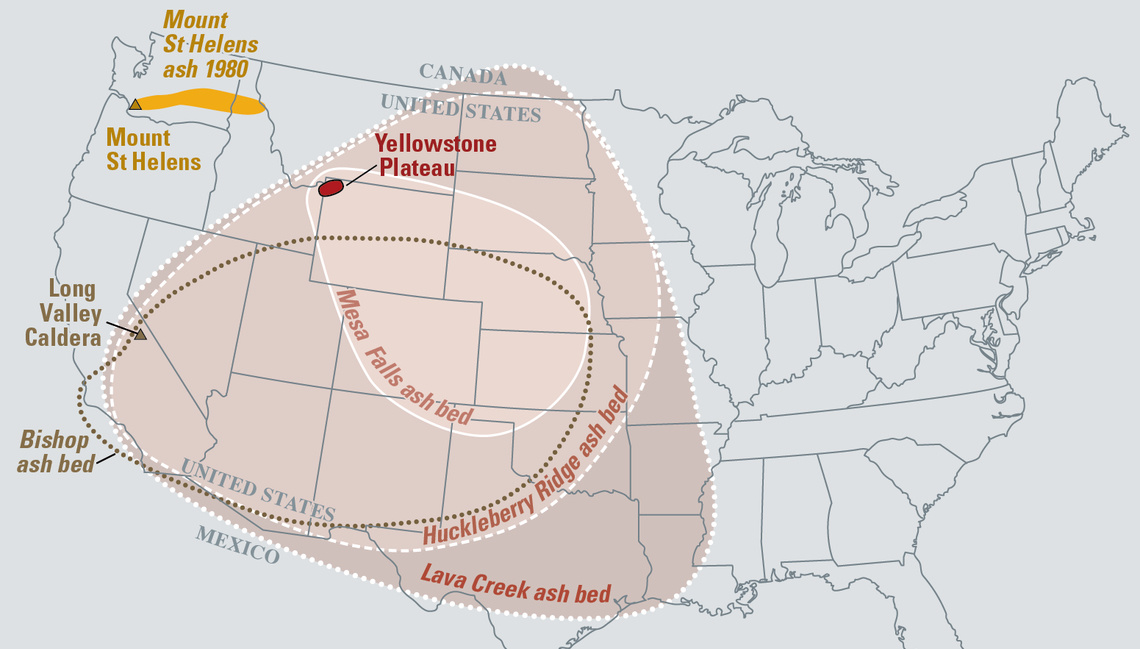
Here’s why mega-eruptions like the ones that covered North America in ash are the least of your worries.
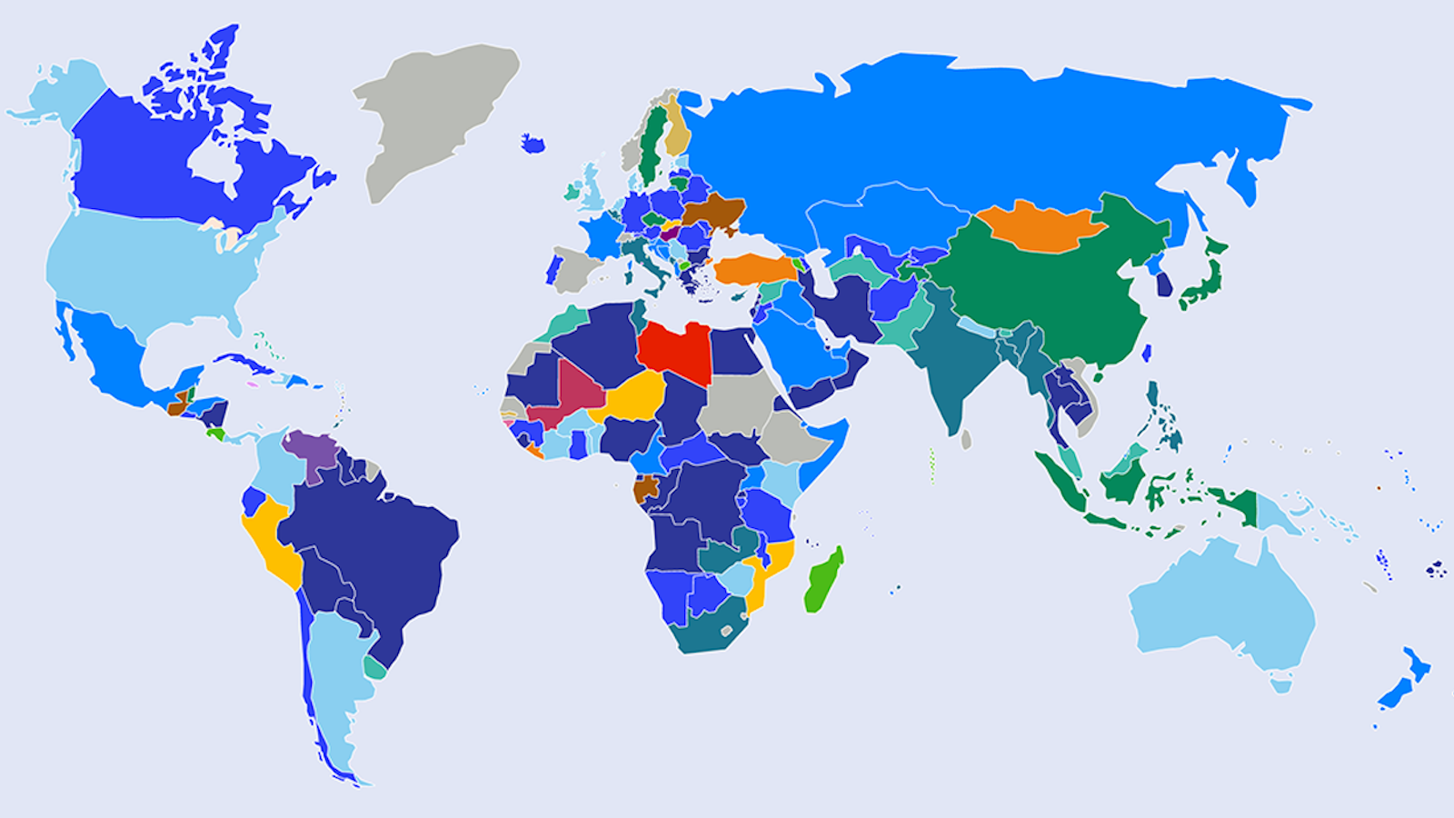
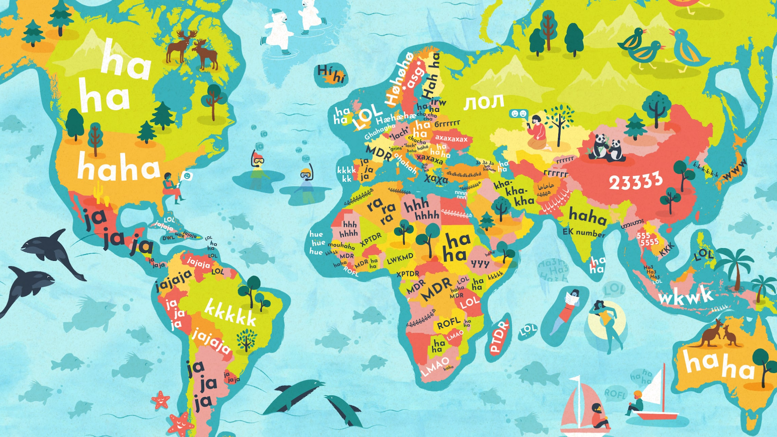
This world map shows how the rest of the world LOLs. In France, you MDR; in China, you 23333.
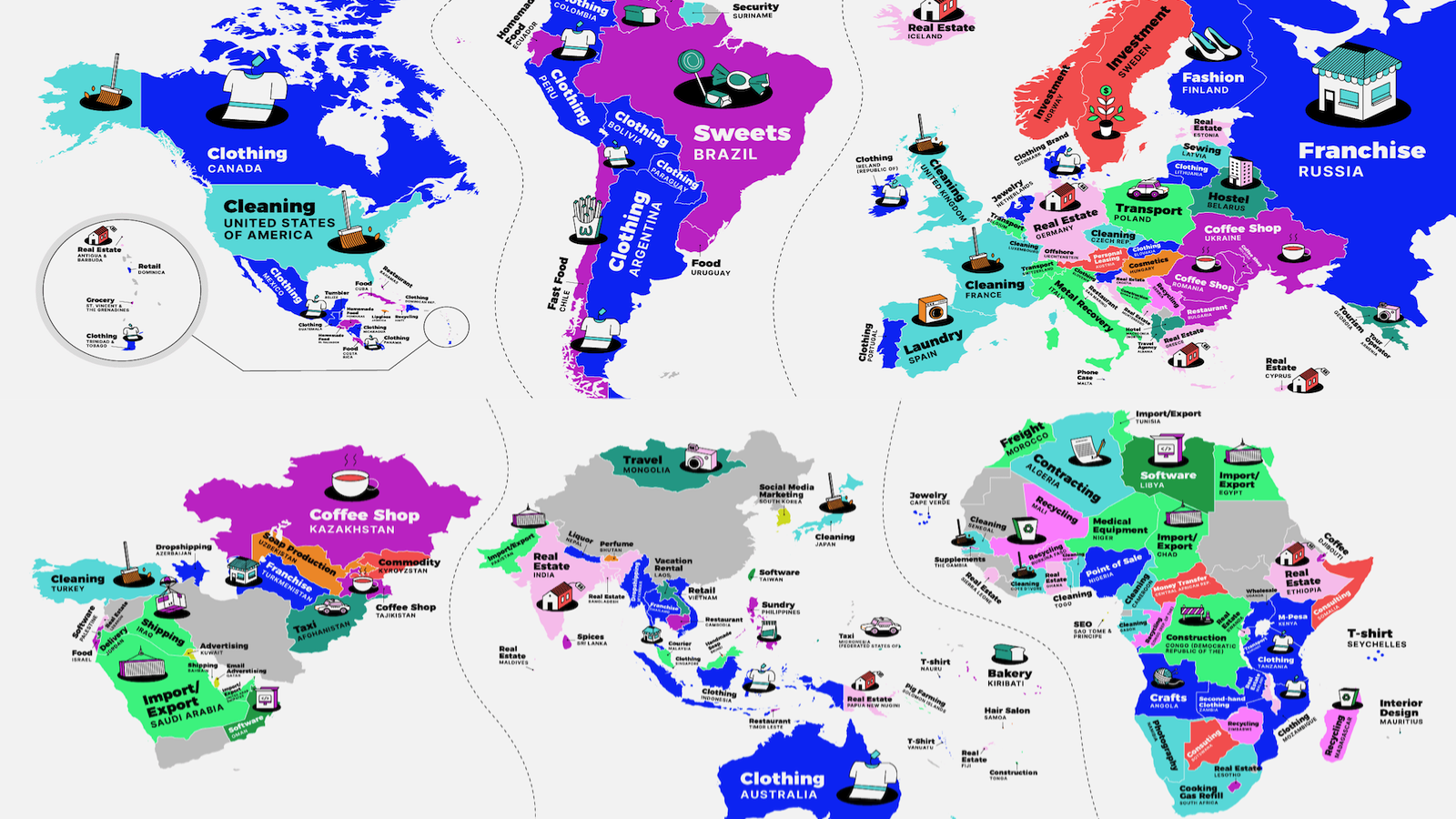
In New Zealand, ambitious Kiwis want to launch a lawn mowing business; in South Africa, it’s cooking gas refills. Start-up dreams vary widely.
A dispute marked by flags and booze has been replaced with an official land border.
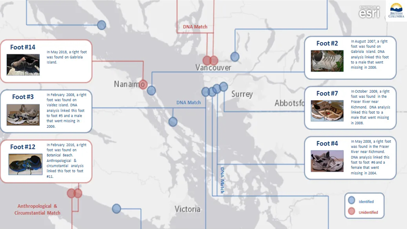
The weirdest thing about the 21 feet found near Vancouver since 2007? Foul play has been ruled out.
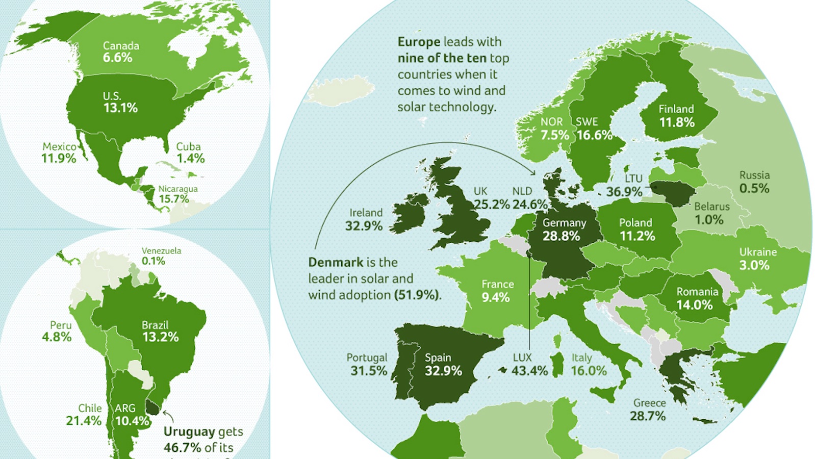
Best in class: Denmark and Uruguay. Worst in class: Papua New Guinea, Venezuela, and Russia.
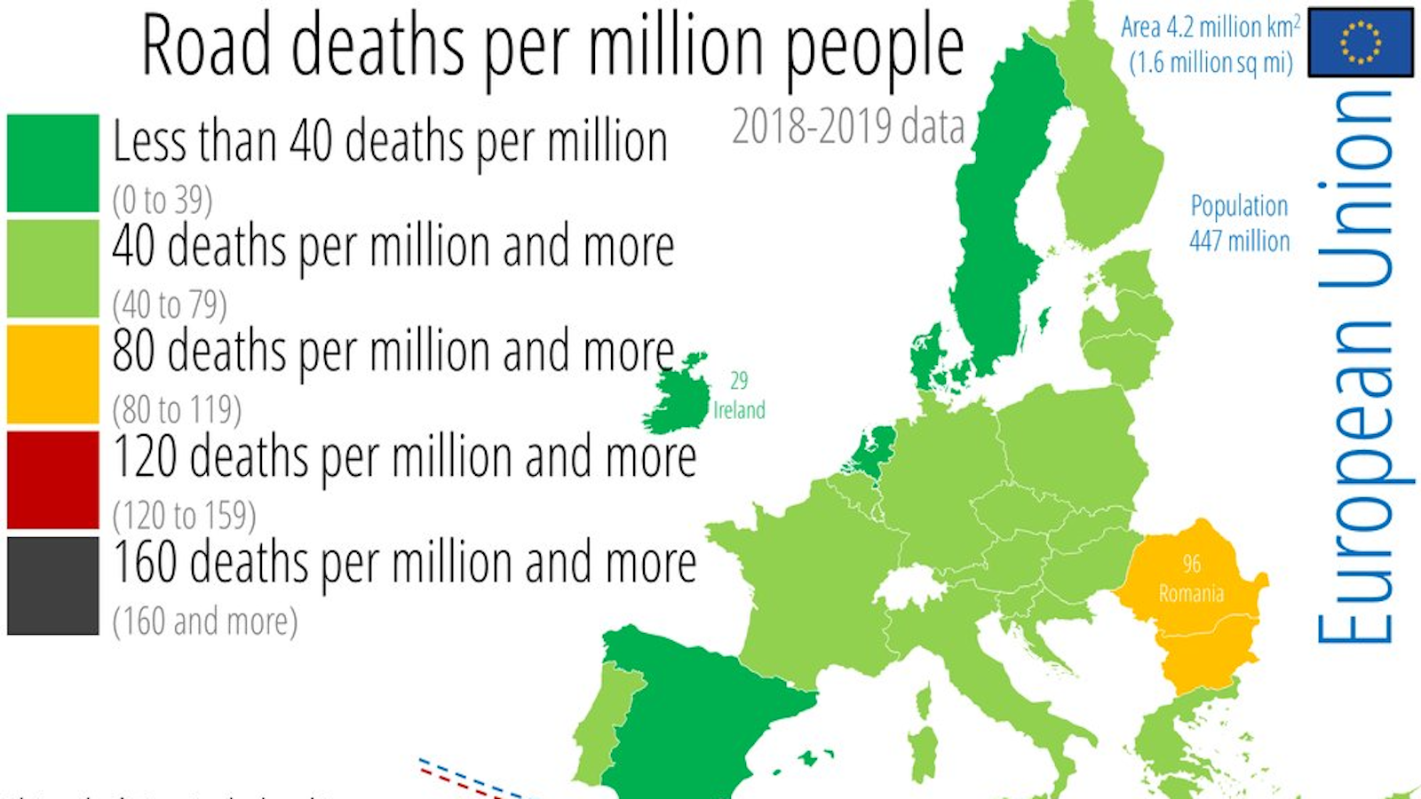
Wyoming’s roads are nine times deadlier than Ireland’s. California’s road safety is on par with Romania’s.
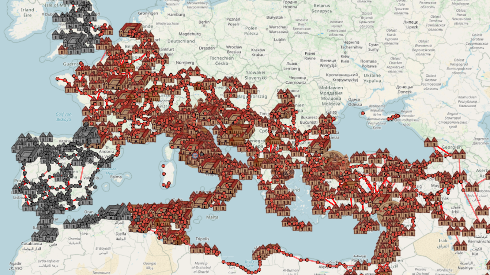
OmnesViae is a modern route planner based on the roads of the Roman Empire.
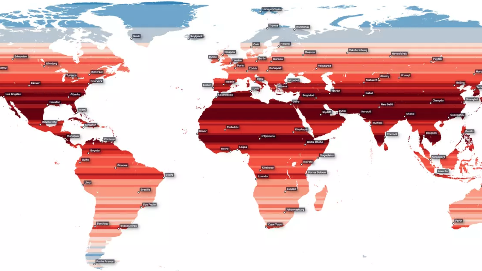
In 100 years, perhaps this map showing humanity clustering around the equator will seem “so 21st century.”
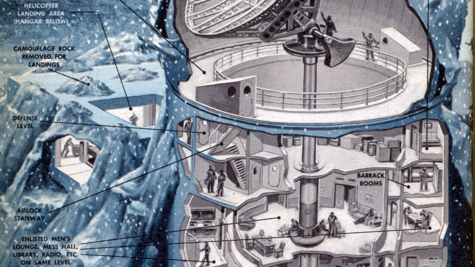
Cold War meets Star Wars in this cut-away of a 1950 “rubber bubble,” the first line of defense against nuclear sneak attack.
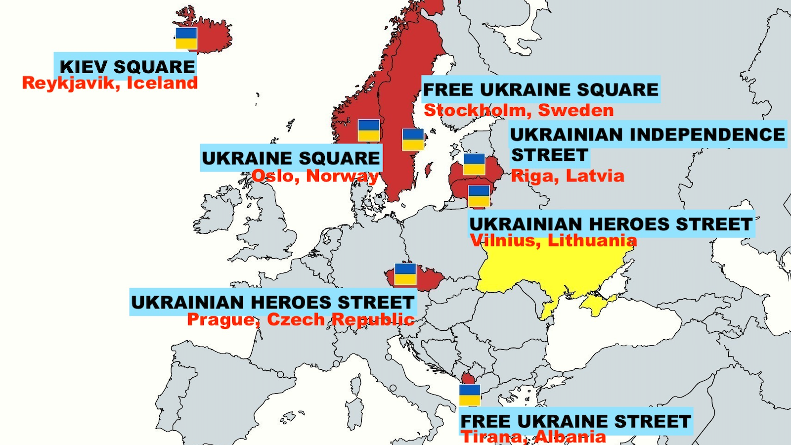
Diplomacy is war by other means.
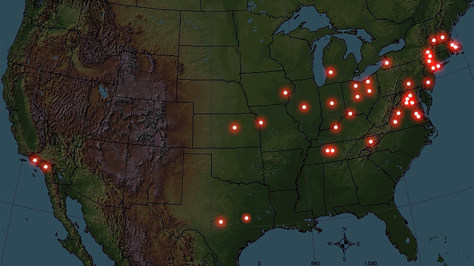
Presidential gravesites are spread out “democratically” — but this is more by accident than design.
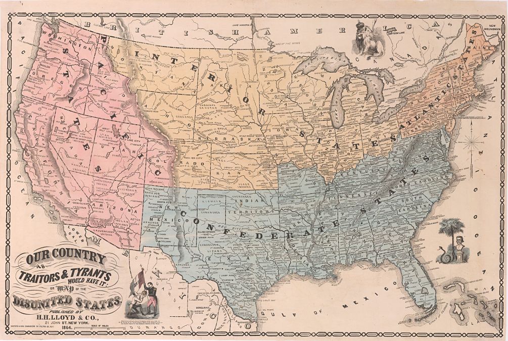
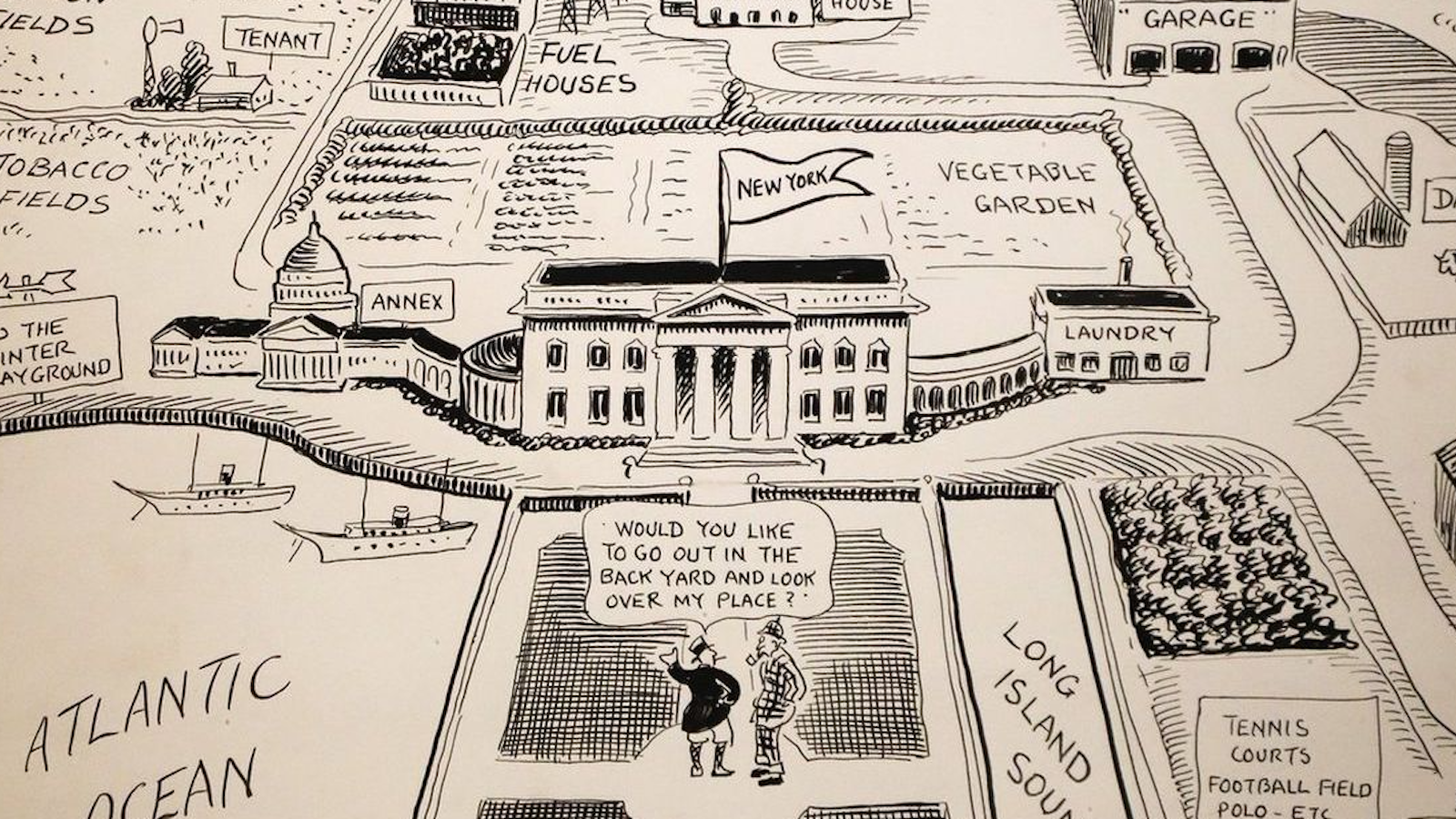
Satire and an inflated sense of self-importance collide in a series of maps that goes back more than 100 years in American history.
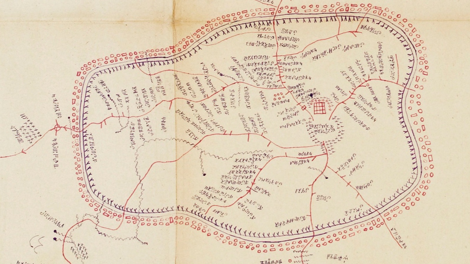
This representation of the Bamum kingdom is a rare example of early 20th-century indigenous African cartography.
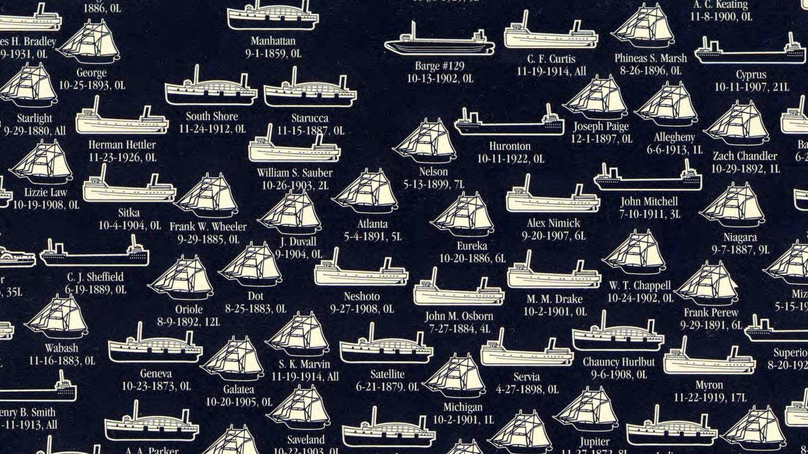
There have been some 6,000 Great Lakes shipwrecks, which have claimed an estimated 30,000 lives. These maps show some of them.
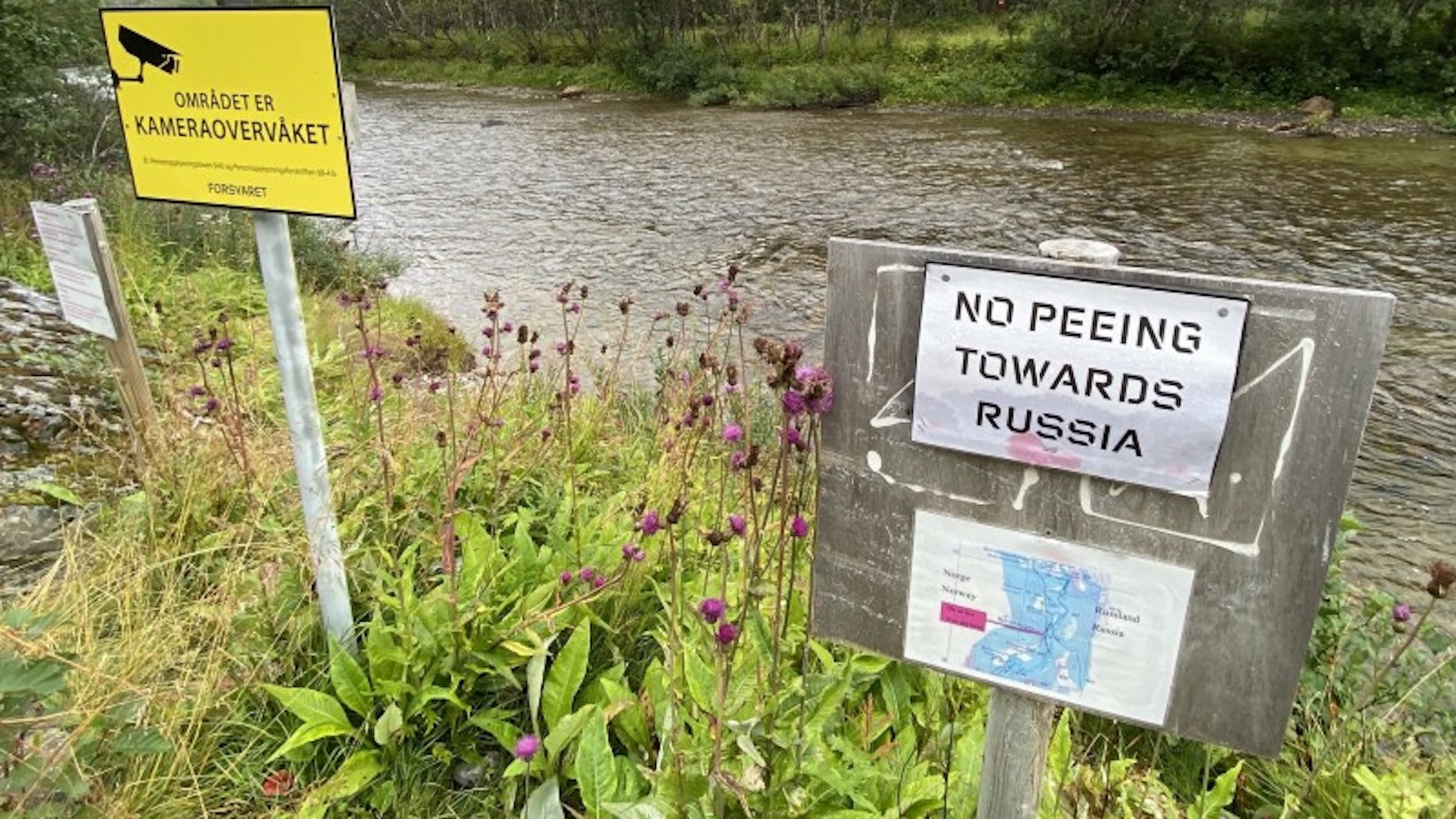
Urinating in the direction of NATO’s staunchest opponent could cost you $350 or more. For world peace, aim wisely.
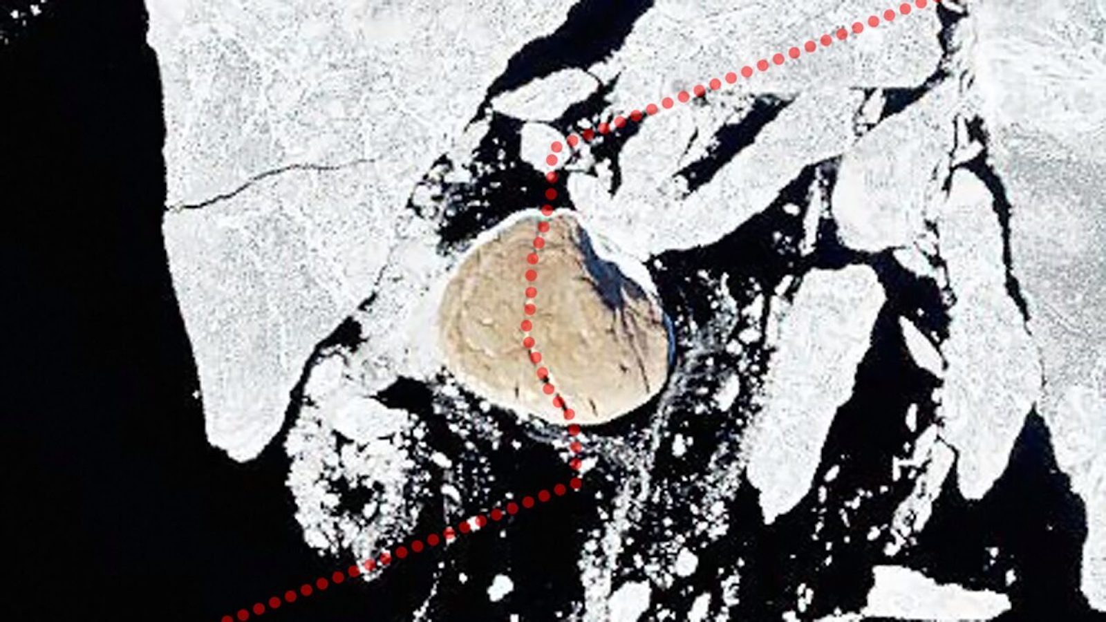
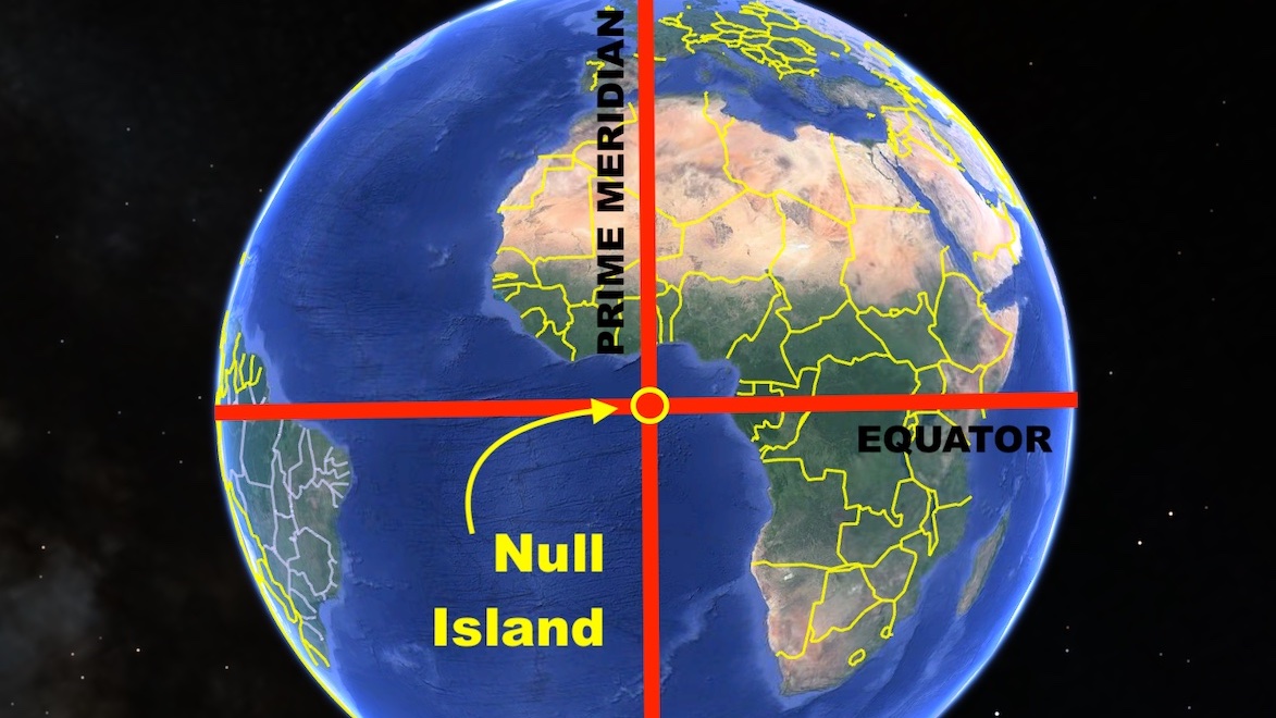
Where the prime meridian meets the equator, a non-existent island captures our imagination — and our non-geocoded data.
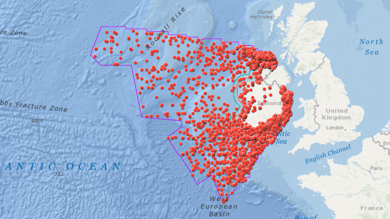
We have a morbid curiosity about nautical disaster stories. The Irish “Wreck Viewer” offers a window into centuries of marine misfortune.
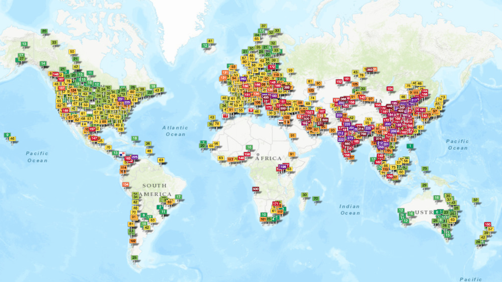
The World Air Quality Index shows how clean your city’s air is, in real time.
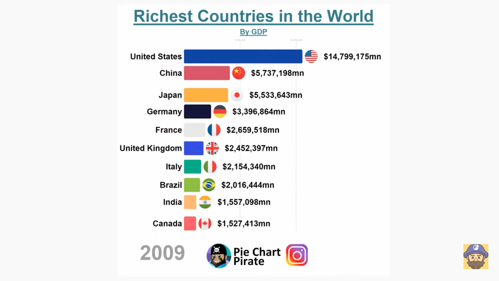
Any dataset that can be quantified over time can be turned into a contest that is both exciting and (a little bit) enlightening.
